Journey to the end of the earth

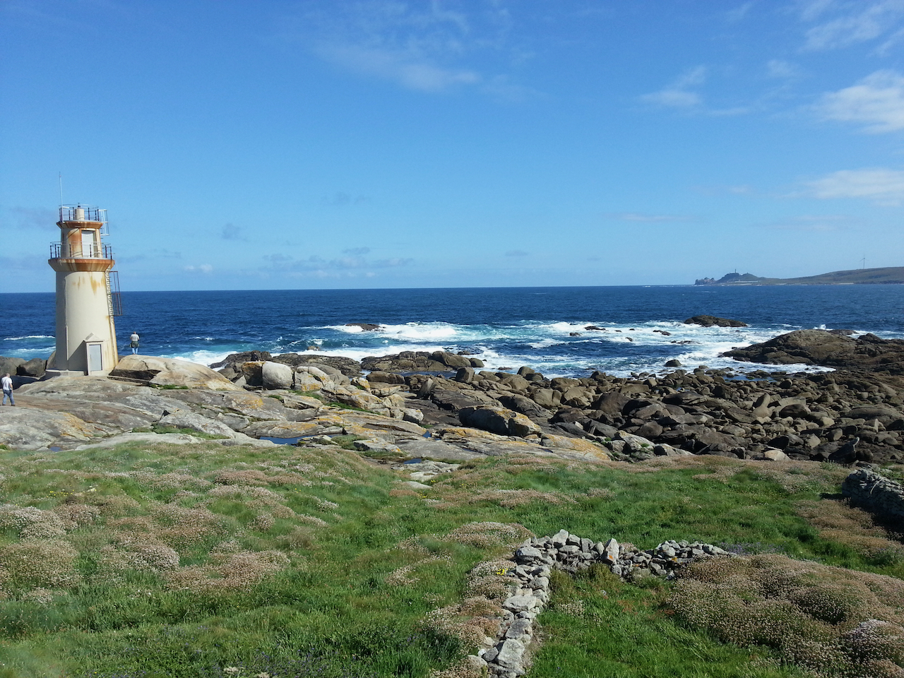
Took a bus trip today to the west (Atlantic) coast of Galicia. Beautiful country and coastline, but I really went to visit what in Roman times was thought to be the end of the earth – Cape Finisterre. The rain held off, the sun shone all day and the Atlantic was almost as calm as the proverbial millpond.

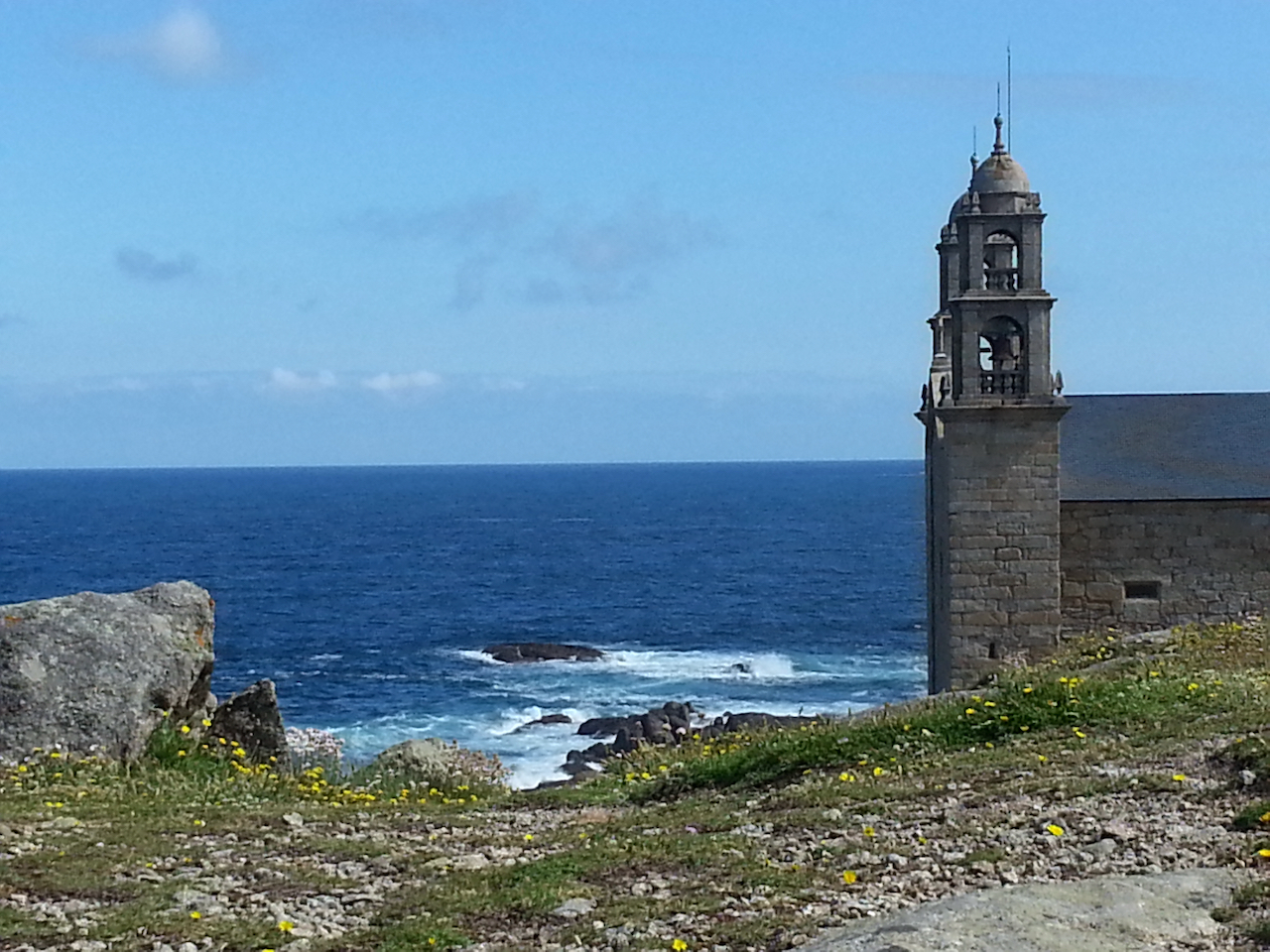
Stopped at Muxia first. Lots of shipwrecks over the years off this town, the coast being known as the Costa da Morte (coast of death).

This church, Santuario da Virxe da Barca, is on a rock ridge above the sea.

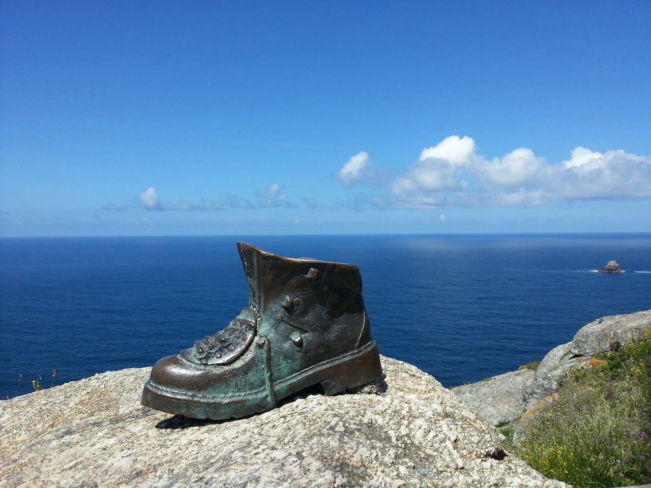
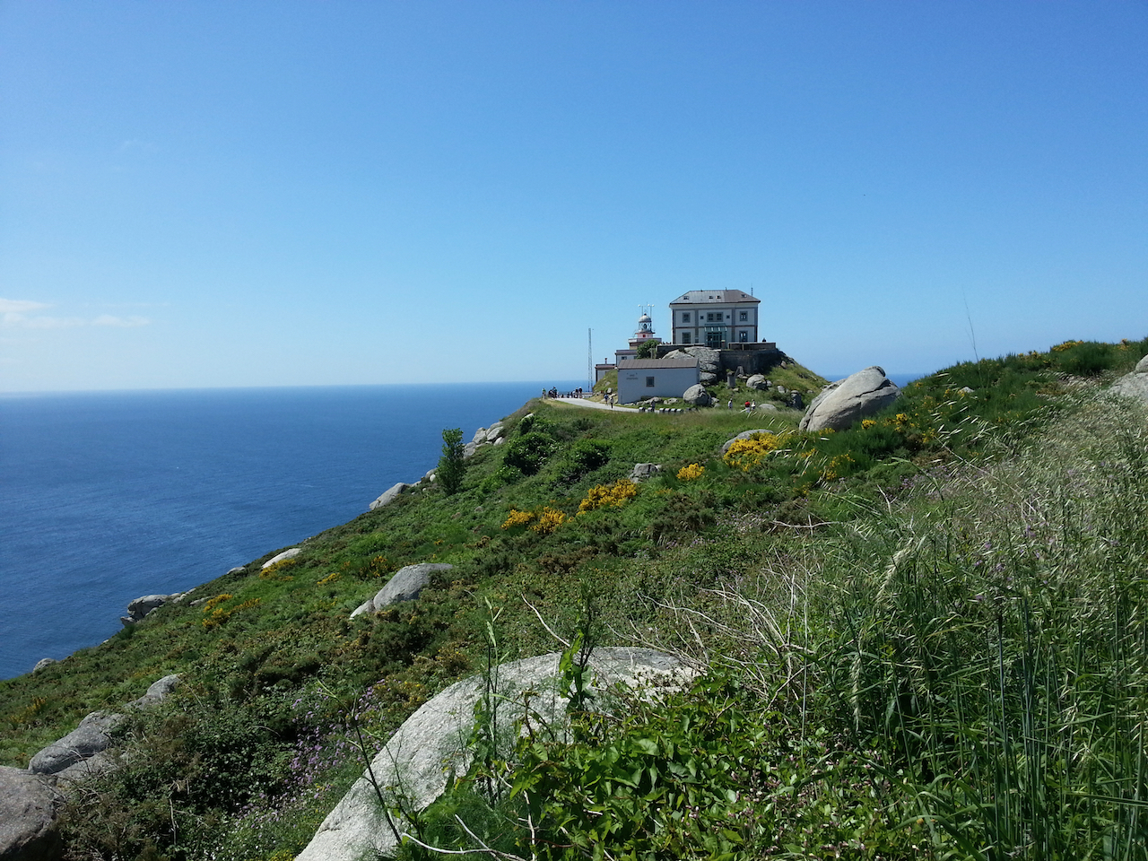
Then to Cape Finisterre. Spent quite some time scrambling around the rocky headland, sitting looking out to sea, just enjoying being there really.

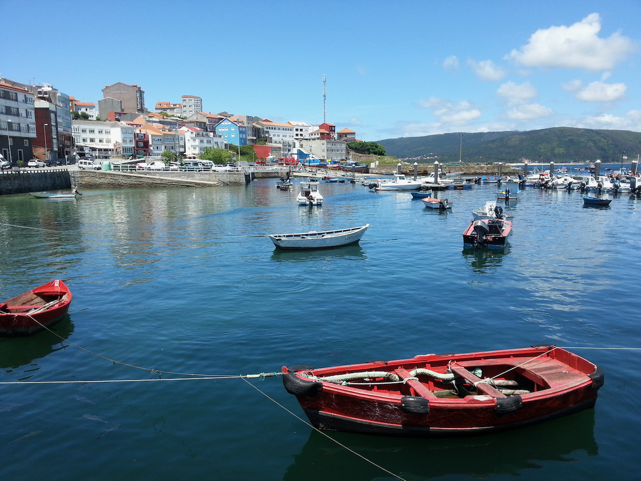
Went into Cape Finisterre township for lunch. Lots of small fishing boats in the harbour. Had fish for lunch (and, for the first time, razor clams).

Off to Portugal tomorrow.

Santiago de Compostela

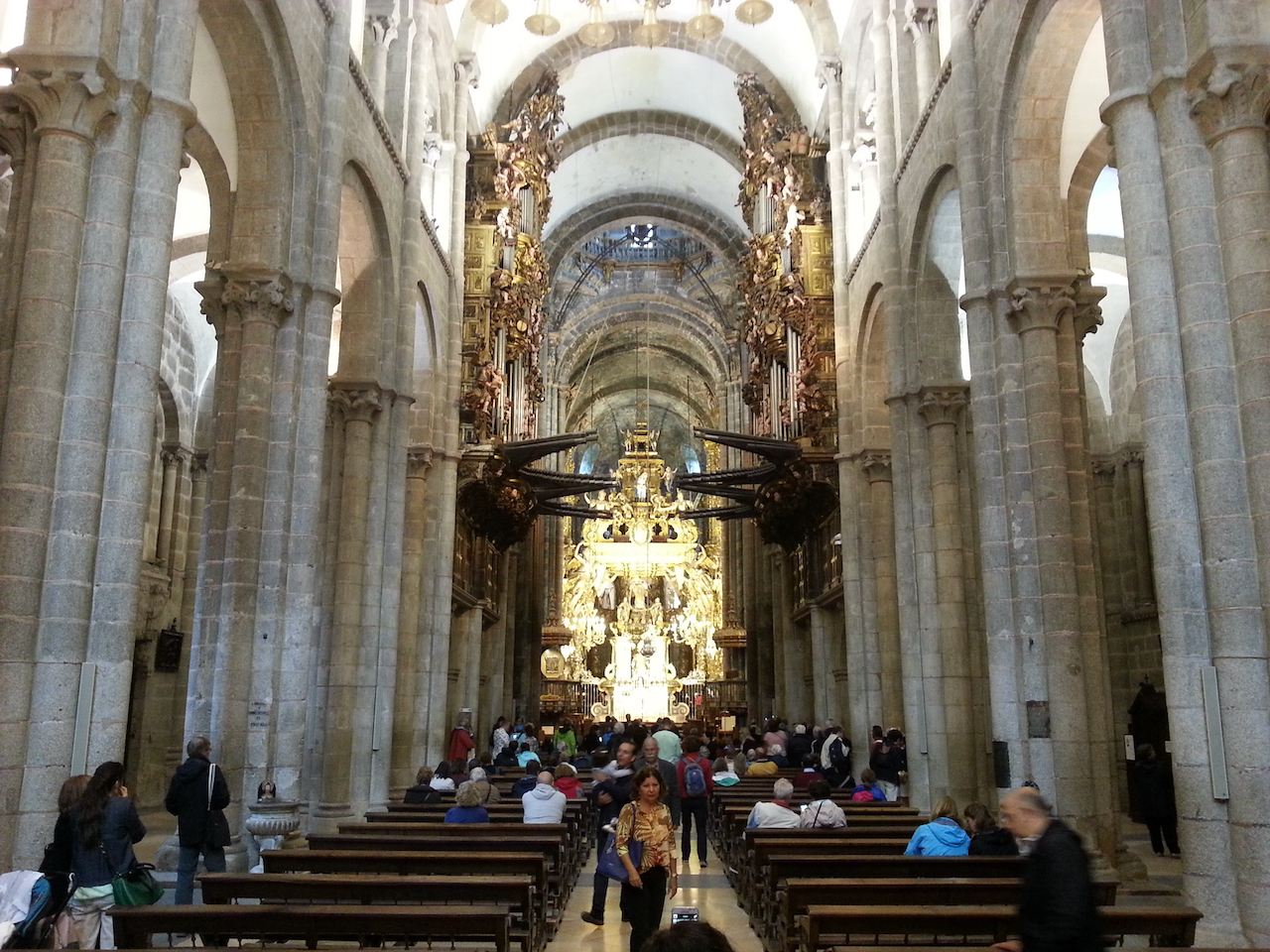
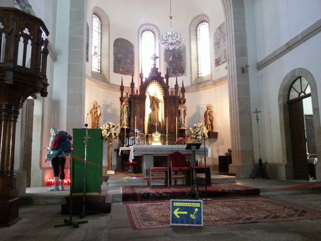
Attended the pilgrims mass at the Cathedral of Santiago de Compostela. The cathedral was packed. At the end of the mass, the botafumeiro was used. It’s an 80 kg “incensory made of silver-plated brass [that] swings like an enormous pendulum through the sanctuary, leaving behind a trail of smoke and the fragrance of incense.” It’s swung by eight monks using a rope and pulley, reaches the vaulted cathedral ceiling at the peak of its swing and is a spectacular sight in full flight. No photos as cameras weren’t supposed to be used during the mass (the following shots were taken before and after the service – you can see the botafumeiro in the first one, hanging above the altar).

Ignoring the ‘no photos’ thing, Alton – one of my fellow peregrinos – managed to, shall we say, ‘obtain’ a video of the botafumeiro in action. Alton also has written a better description of it than mine, on his blog here.

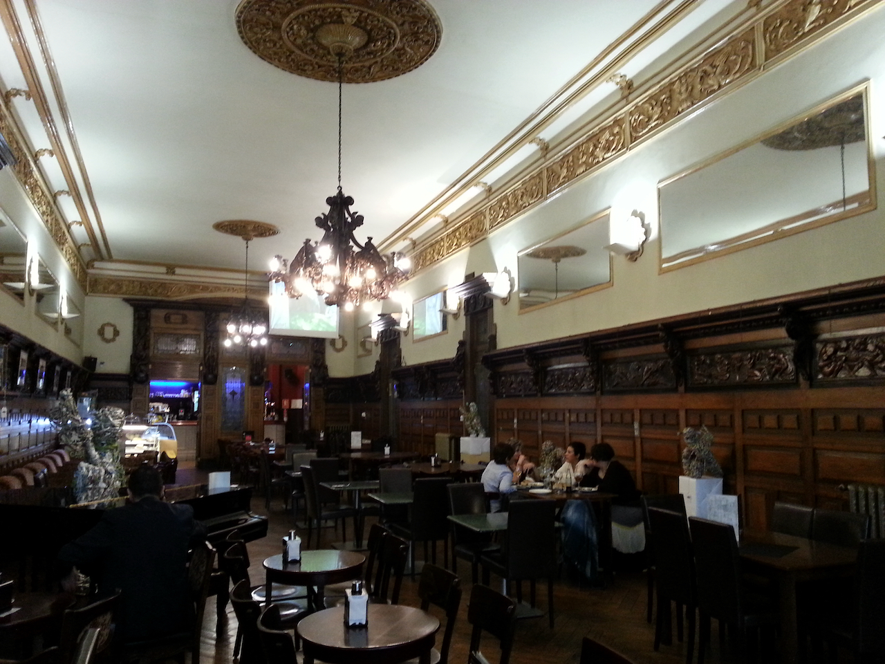
Afternoon tea at the grand old (since 1873) Café Casino

Tomorrow Saturday I’ll join a bus tour out to Muxia and Cape Finisterre. (I’ve decided to rest the weary body and defer the Camino de Finisterre walk to another trip.) I’ll leave Santiago on Sunday for Porto in Portugal (around three hours on the bus).

O Pedrouzo to Santiago de Compostela

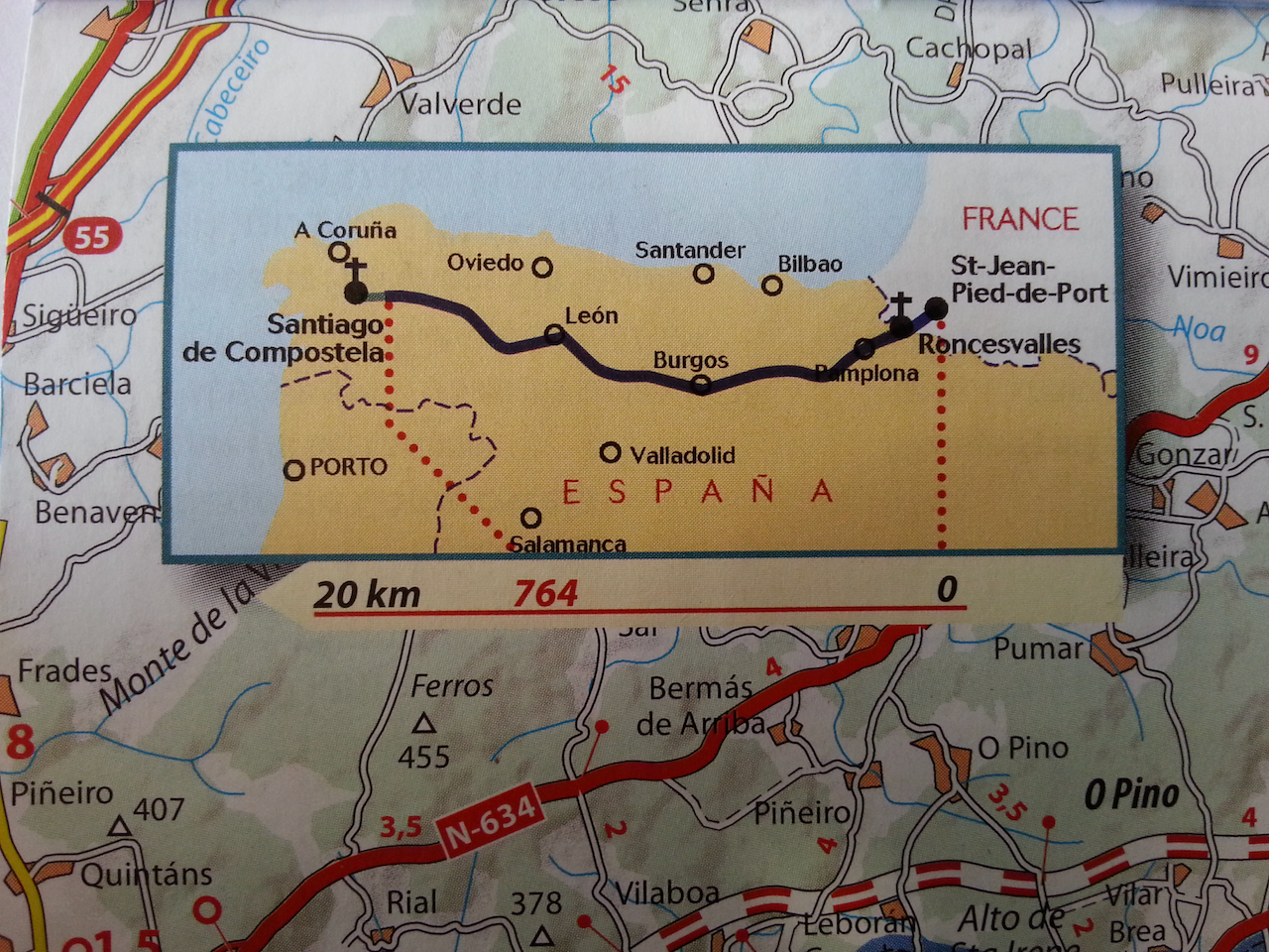
19.7 km and 4:25 (see map).

So the walking is done, the Camino finished. I don’t think it has sunk in yet. I feel elated; privileged; weary. 783 km over 37 walking days plus 7 rest days. I’ll reflect on this extraordinary experience in the days to come, but right now I’m looking forward to catching up for a drink and meal with some Camino friends and then a long sleep.

To the walk into Santiago …

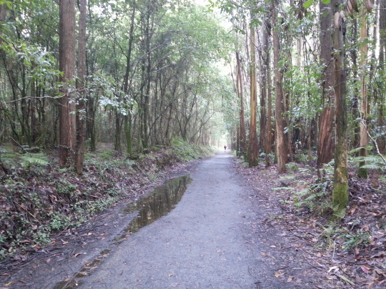
Onto forest trails not far out of O Pedrouzo.

A few more peregrinos on the path as the morning progressed.

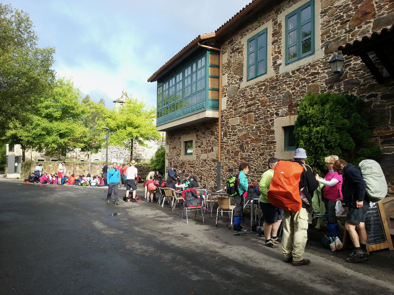
A lot of folk at the first coffee stop, although many turned out to be in a school group of 14-15 year olds.

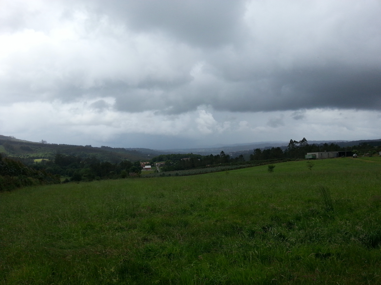
Rain clouds loom …

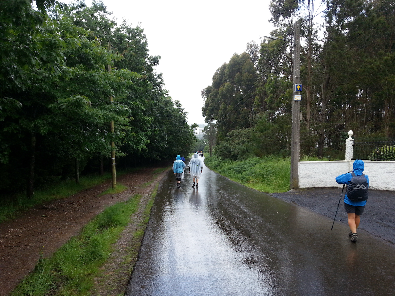
… with the rain coming for the last hour into Santiago (quite heavily at times).

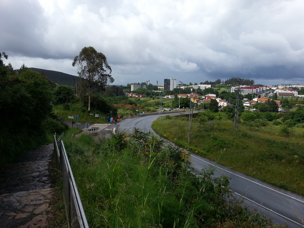
Santiago nears.

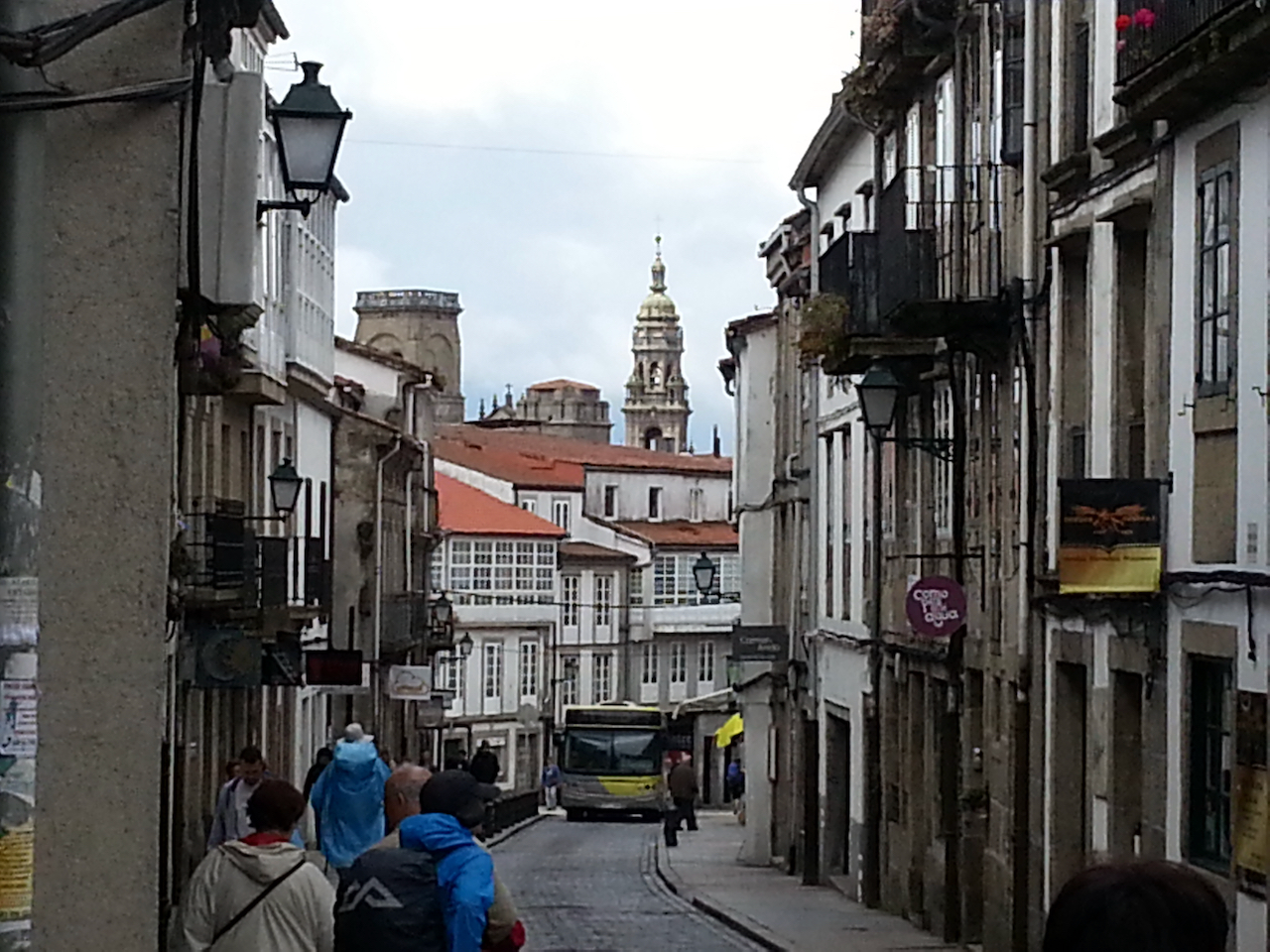
First sighting of the cathedral.

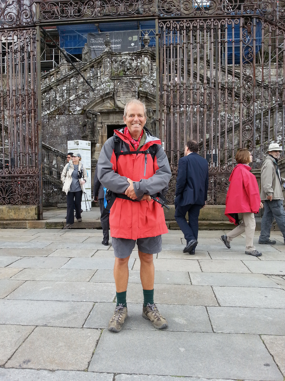
There at last.

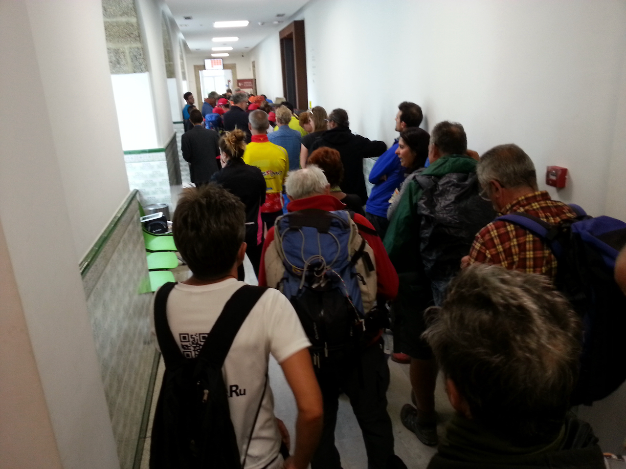
Then the queue for the compostela.

Arzúa to O Pedrouzo

20.4 km and 4:43 (see map).

The second last day on the Camino! Hard to believe this wonderful journey is coming to an end.

O Pedrouzo is 20 km from Santiago de Compostela, according to the Michelin guide.

To today’s walk …

Not far out of Arzùa and before the weather deteriorated.

Arzúa on the horizon, taken from vantage point about 3 km into walk to O Pedrouzo.

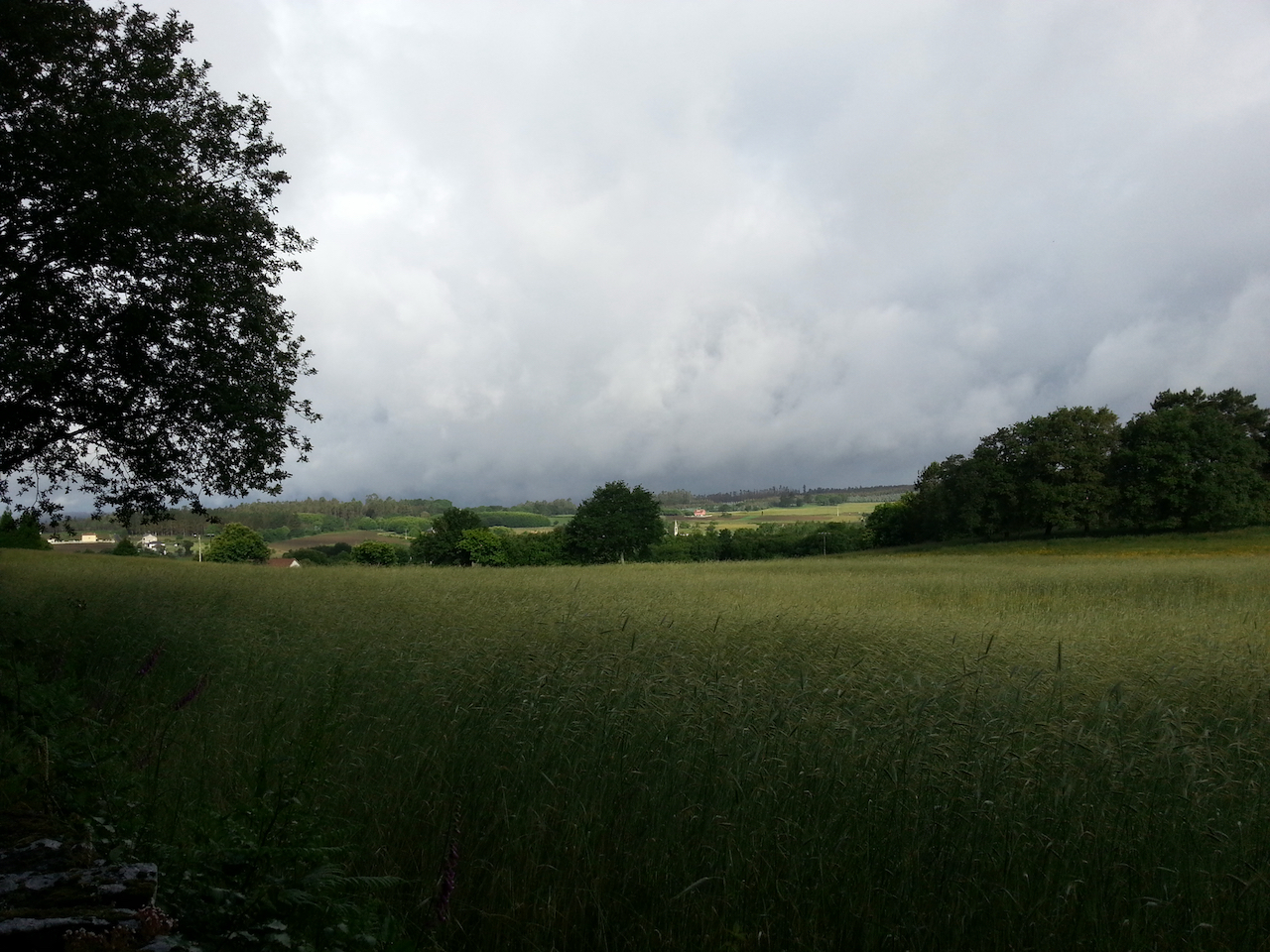
The rain started soon after leaving Arzúa and stayed around almost all the way to O Pedrouzo. Not cold though.

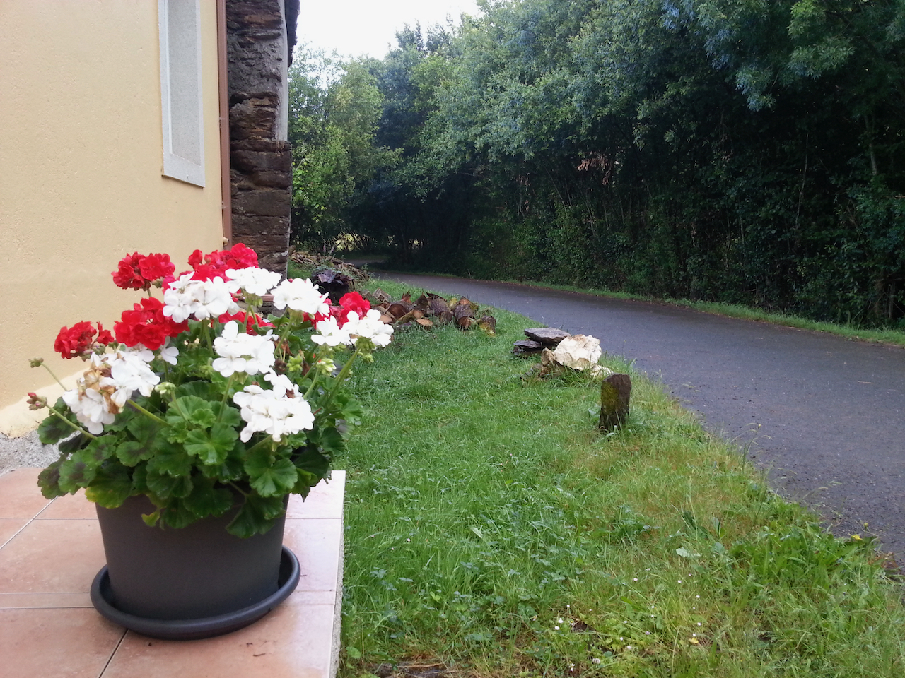
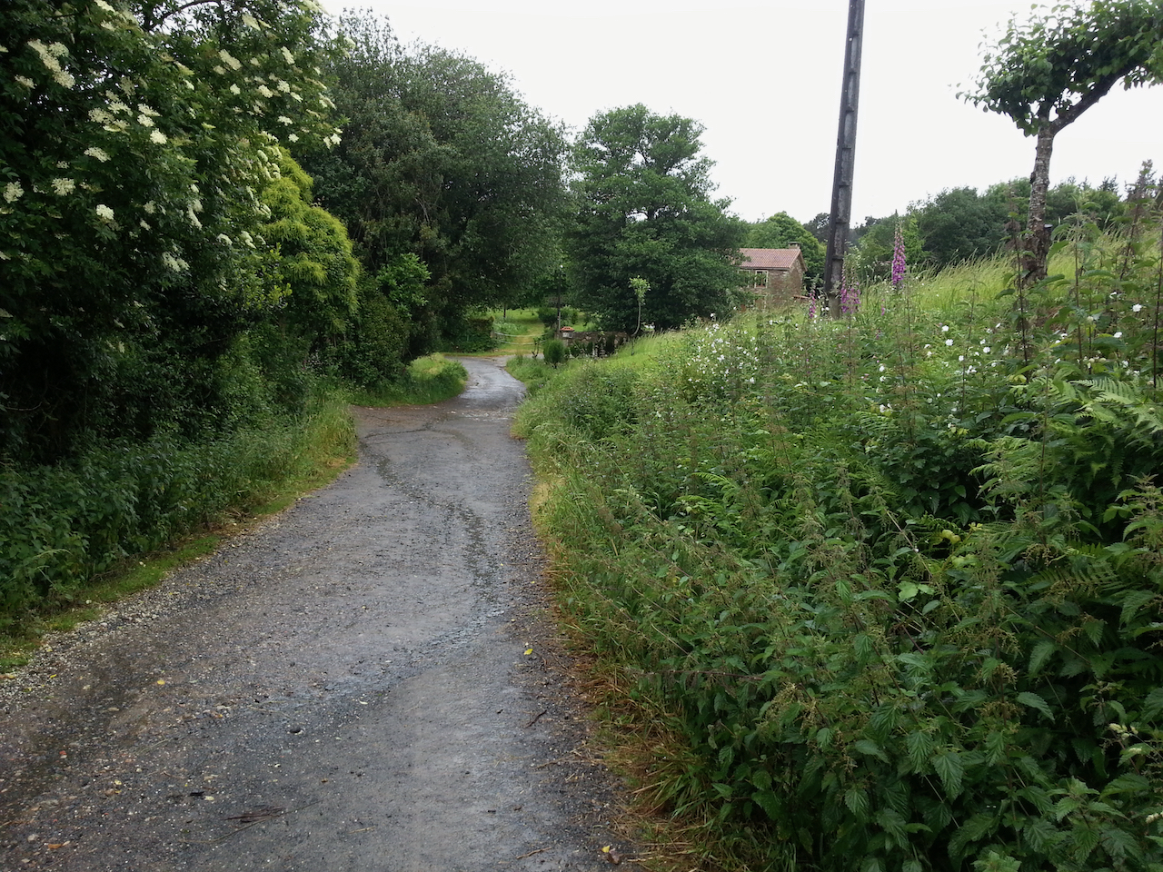
I haven’t seen any more of the beautiful red poppies since entering Galicia, but there are plenty of these pink flowers.

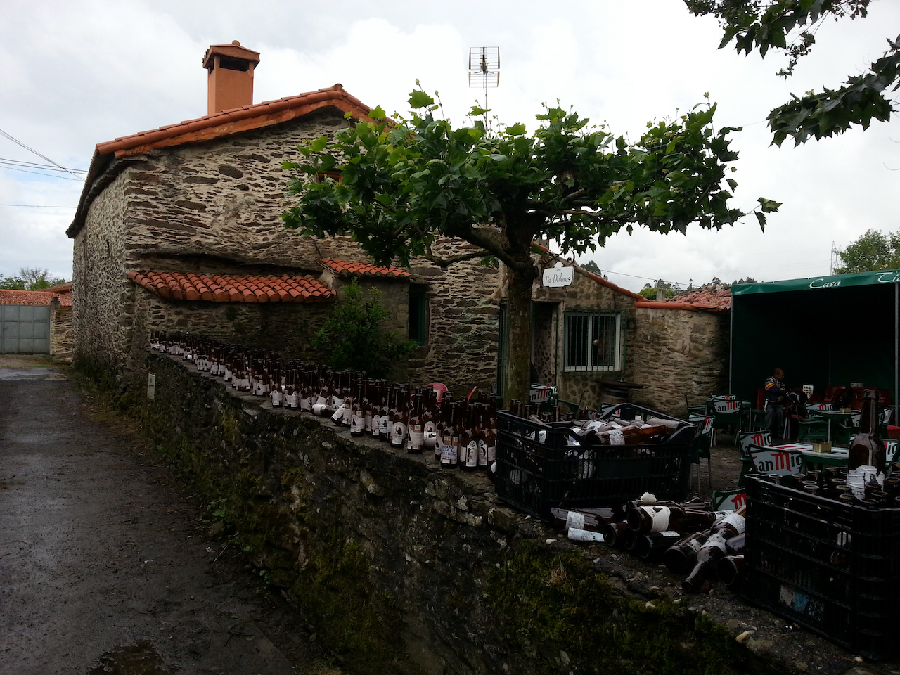
One use for empty beer bottles – wall adornments.

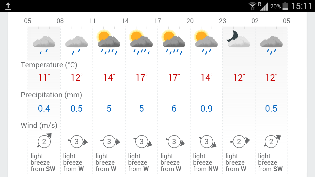
Another damp day coming up tomorrow for the final leg into Santiago de Compostela.

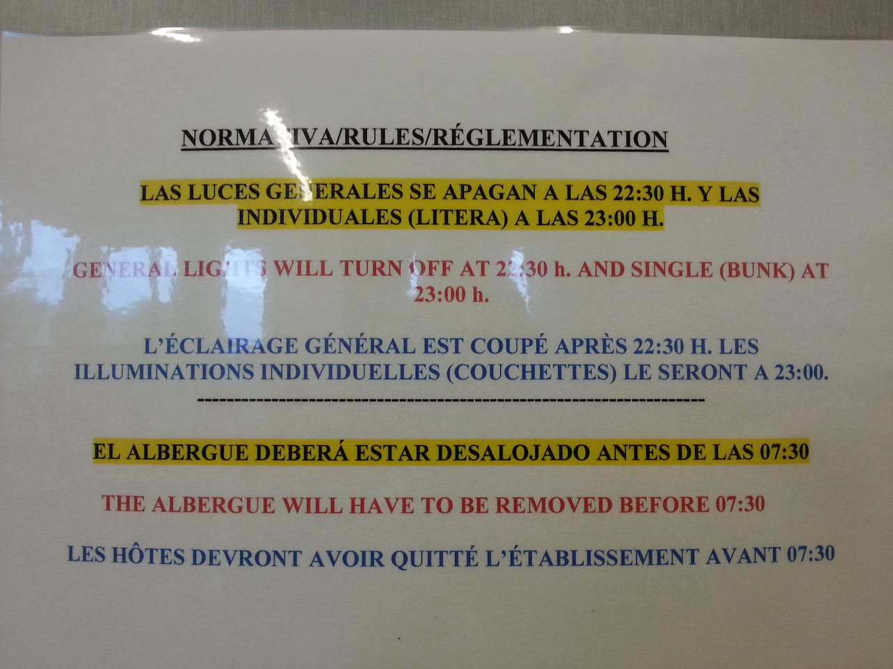
Dire consequences if overstaying albergue departure deadline.

Ponte Campańa to Arzúa

23.5 km and 5:39 (see map).

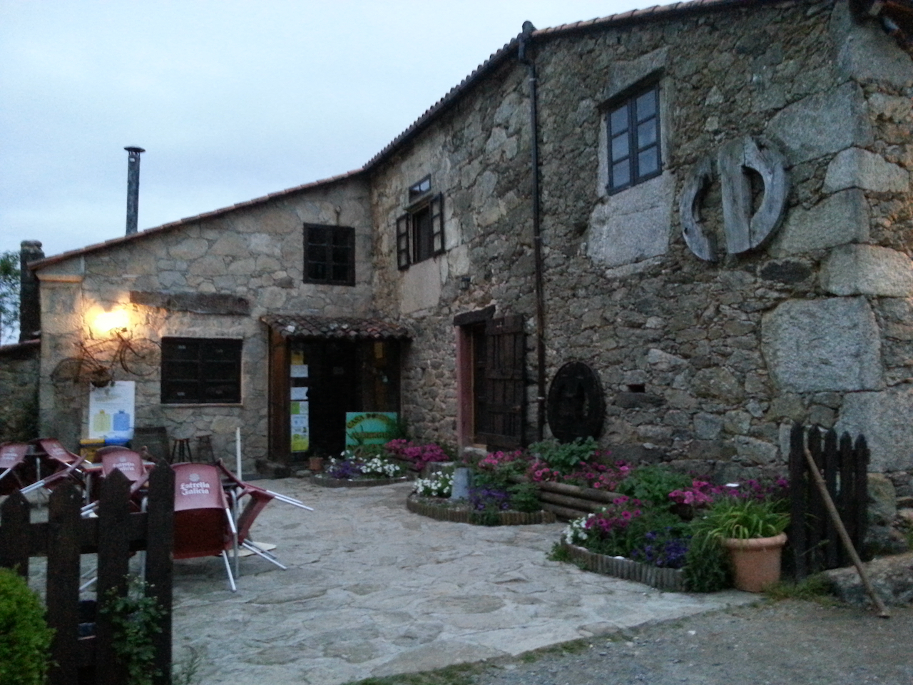
The albergue at Ponte Campańa, soon after dawn. A nice place to stay and the communal evening meal last night was first rate too (included vegetables).

So, the day started dry and ended wet. The showers kicked in an hour or so into the walk then gradually got heavier, becoming solid rain for the last hour into Arzúa. It was still good walking though through the villages, farmland and along the forest paths (there were even a few small stands of plantation eucalypts – a reminder of home). There wasn’t much flat walking – mostly it was up and down and up and down and up …

Wifi seems pretty good at the albergue I’m in at Arzúa (I scored the last available bed in the dorm) so I’ll try getting some photos up.

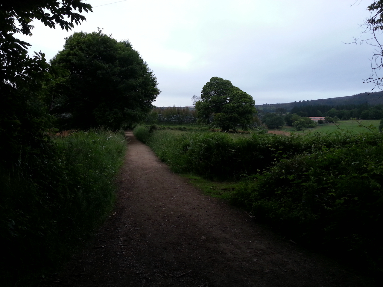
Early in the day’s walk.

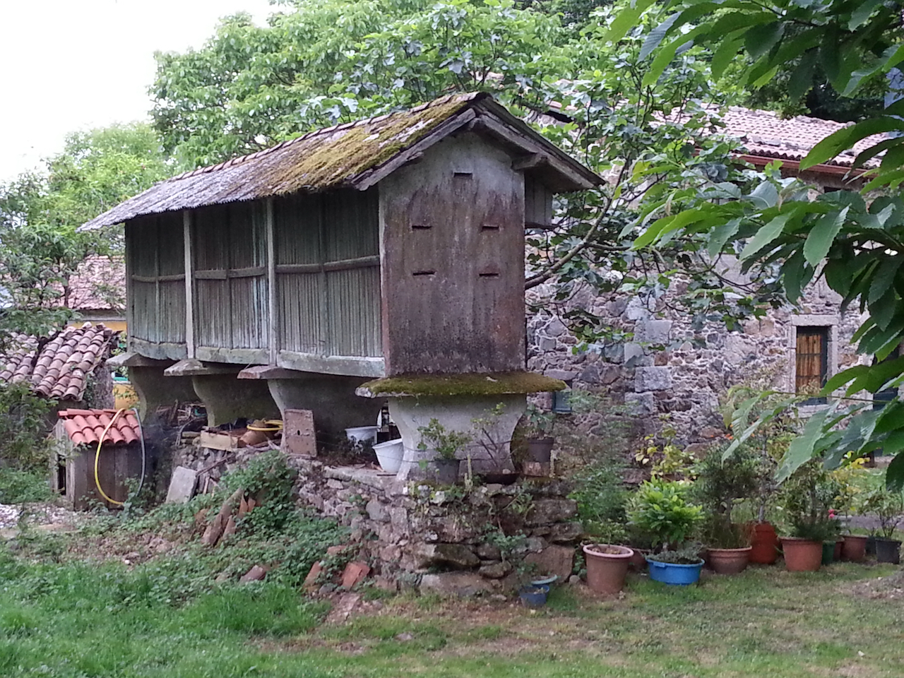
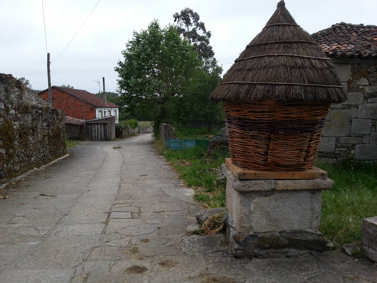
These structures are a common sight along the Camino in Galicia. They’re called hórreo and are used to dry corn, store vegetables, etc.

The path through one of the villages en route.

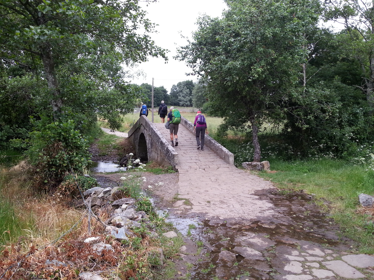
There are now increasing numbers of walkers on the Camino as Santiago de Compostela gets closer.

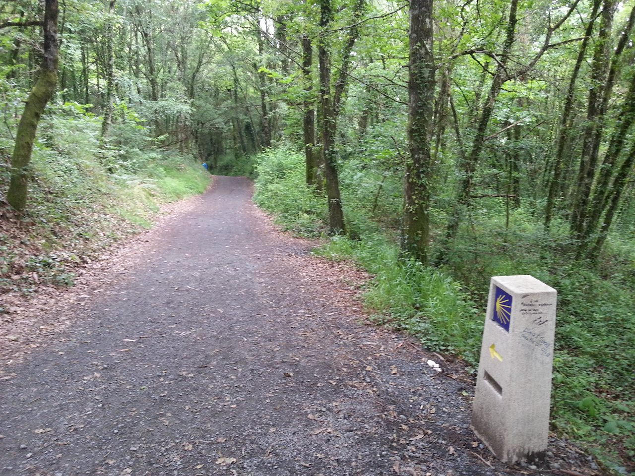
Typical forest path.

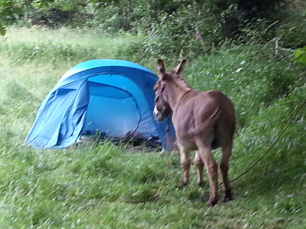
Typical Spanish camper.

Melide was the largest town passed today.

Heading into Ribadisa da Baixo, the last town before Arzùa (3 km down the road).

Gonzar to Ponte Campaña

21.3 km and 4.59 (see map).

A damp start to the day – low cloud and light misty rain, but not cold.

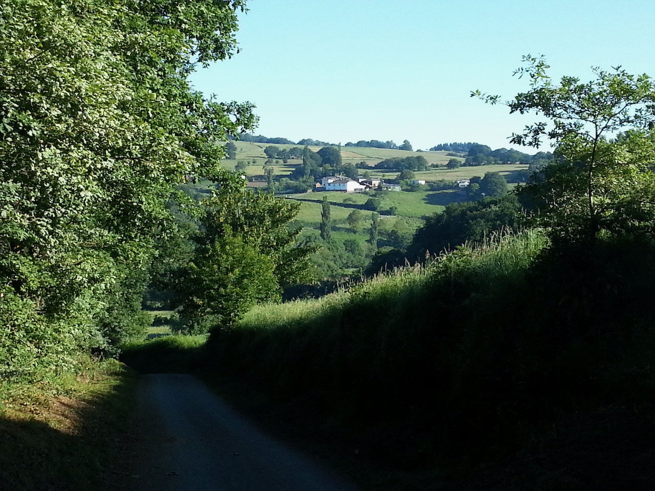
It’s good walking in the gloom through the fields, along the forest paths and through the many small villages and dairy farms.

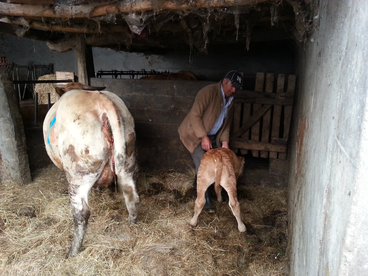
Most of the cows are housed in sheds; it’s unusual to see any in the fields. And there’s a constant reminder of the nature of the agricultural activity in the area – the smell of freshly cut hay and the pungent-but-not-altogether-unpleasant aroma of silage.

The weather started to improve later in the morning, with the sun out at Palas de Rei, the largest town on the route today. I had my credencial stamped at the cathedral, grabbed a cup of tea and a pastry, and headed off for a few km to find an albergue for the night. There aren’t many albergues along the initial section of the 29 km stretch from Palas de Rei to Arzúa and I’d heard it might be difficult to get a bed so I opted to stop at the first albergue that had room. There’s not much other than the albergue at Ponte Campaña; in fact that’s all there is. €10 a night for a bunk bed and €10 for dinner. Good value. (Ponte Campaña is about 3.5 km on from Palas de Rei and 1.3 km from Casanova. It’s 26 km to Arzúa, which is where I’ll head tomorrow.)

Molino de Marzán to Gonzar

22.6 km and 5:34 (see map).

Uploading photos en route has become almost impossible, with wifi bandwidth at the albergues, cafés and bars along the way heavily used by the increasing numbers of peregrinos. Uploading and downloading text is ok (e.g. emails, chat messages), but image file transfers invariably crash. So for the next few days I’ll just write a few thoughts from the day and will upload photos to the posts after I get to Santiago. (I’ll still try to add a photo or two each day if there’s a chance.)

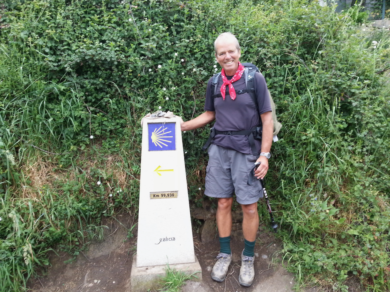
It was a good day for walking today – mild with some cloud cover. I passed the ‘99.930 km to Santiago’ marker early on, just past Ferreiros. Lots of peregrinos were stopping to have their photos taken standing by it.
Passed through Portomarín, the largest town of the day and one set picturesquely on a hill overlooking a large expanse of water (the Río Miño).

Strangely I think these last few days are probably the hardest of the entire Camino even though the walking itself isn’t particularly challenging. It’s the dawning awareness that the end is near that is playing with my mind a bit and at one level makes me want to just get it over and done with. But that sense is offset by the desire to continue to live in the present and experience each day as it comes. I plan to be in Santiago de Compostela four days hence i.e. Thursday 16 June (86 km to go).

There’s a lot more up and down in Galicia than earlier in the Camino. Sure there were the Pyrenees to cross at the beginning, but once over them it was essentially down ever-widening valleys to Burgos and there weren’t many hills at all across the Meseta. The Galician hills aren’t particularly big, but the country rolls and undulates and the Camino follows many of the contours. It makes for interesting and varied walking … and a good workout over the 21-23 km of a typical day.

I haven’t yet come across the hordes of bus- and taxi-borne pilgrims I had, from reports, half expected from Sarria on. I’m sure there are increased numbers, but I’m starting and finishing each day at villages that are not part of the ‘standard’ John Brierley daily schedule and that makes a difference. Today I encountered very few people, with many stretches where I was the only one around.

It’s easy to spot the peregrinos amongst everyone else in town at the end of the day. They’re the ones hobbling, walking stiffly or with an unusual gait, with tape on toes, heels and shins, etc. The walking wounded!
Samos to Molino de Marzán

22.4 km and 5:38 (see map).

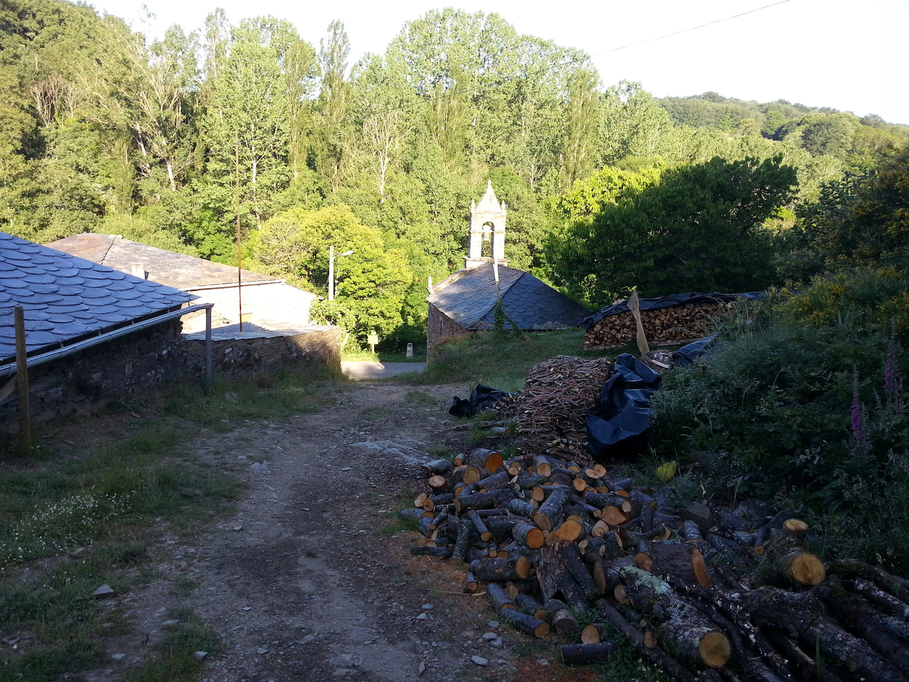
Another good walk. Initially a short climb up a forest track, a gradual descent through rolling country and into Sarria, then onwards to a rural albergue between Rente and Peruscallo. There’s a dam here and the frogs are obviously at home in it given the way they are chattering. It’s idyllic.

Sarria is about 115 km from Santiago de Compostela and the city from which many tour groups embark on Camino trips. You have to walk a minimum of 100 km to get the compostela at the Santiago, hence Sarria is an ideal starting point for folk who want a shorter Camino experience. To be ‘awarded’ the compostela, your pilgrim credencial must be stamped at least twice daily from Sarria to the end (apparently to make it a little harder for people who might just want the compostela without putting in any work!).

Leaving Samos. The Camino heads out past the clock tower.

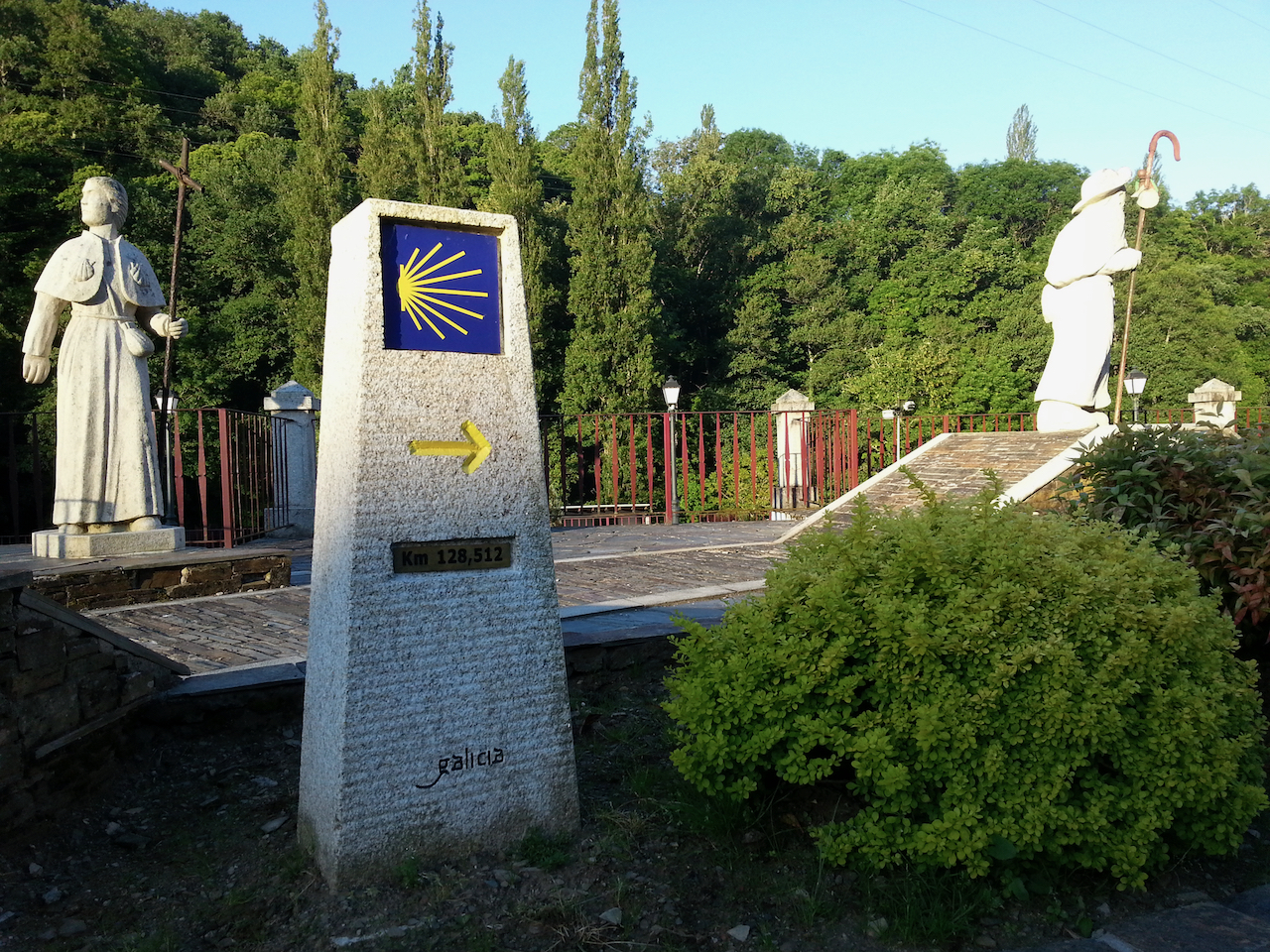
128.512 km to Santiago de Compostela.

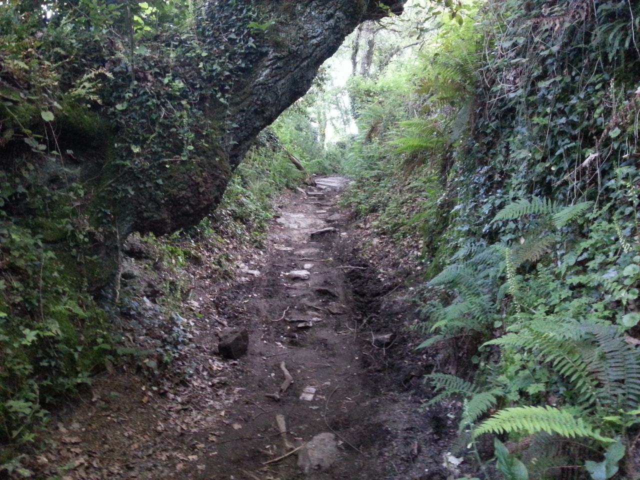
A short climb up a muddy, rocky forest track …

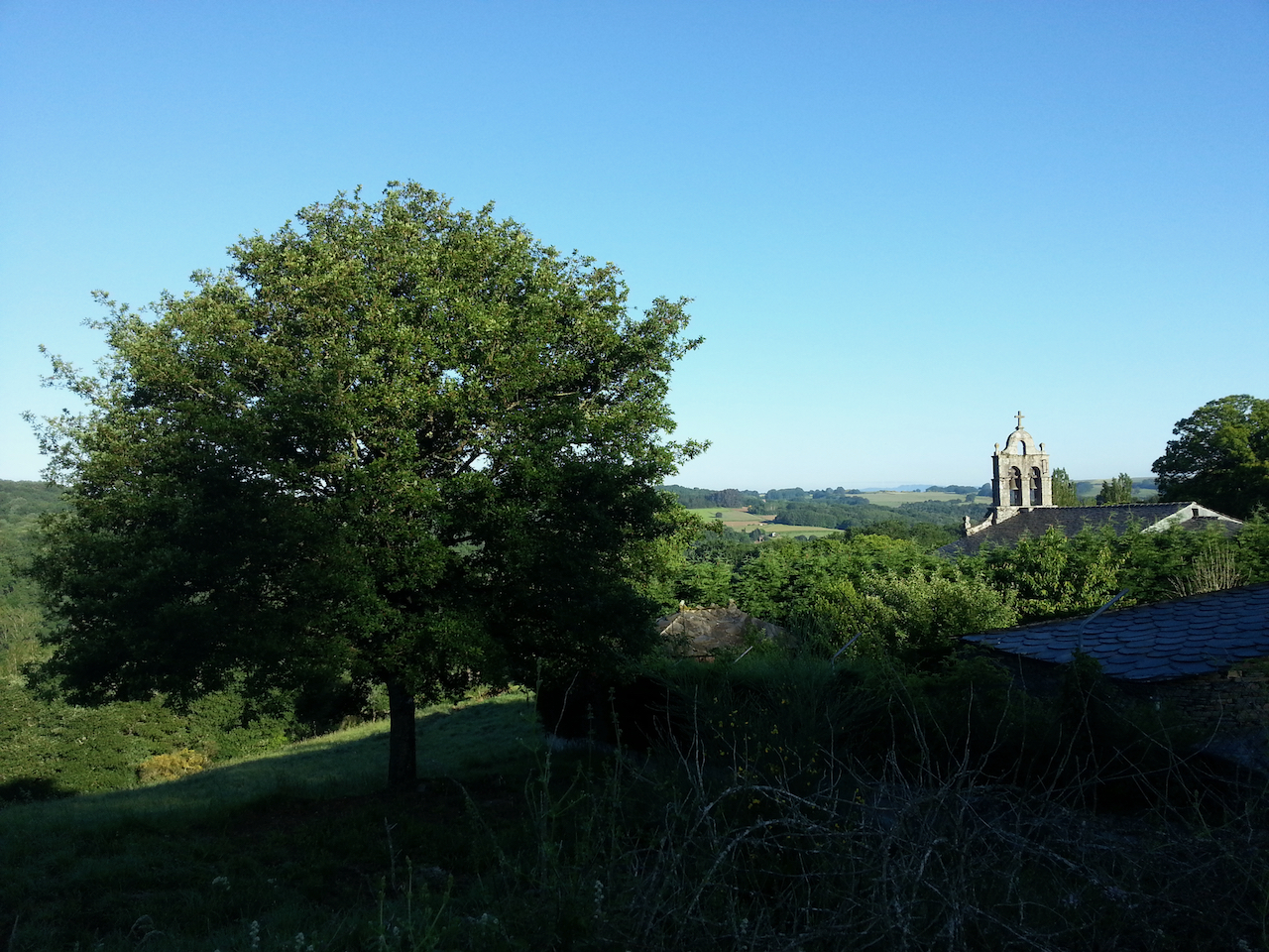
… then out into the open rolling country.

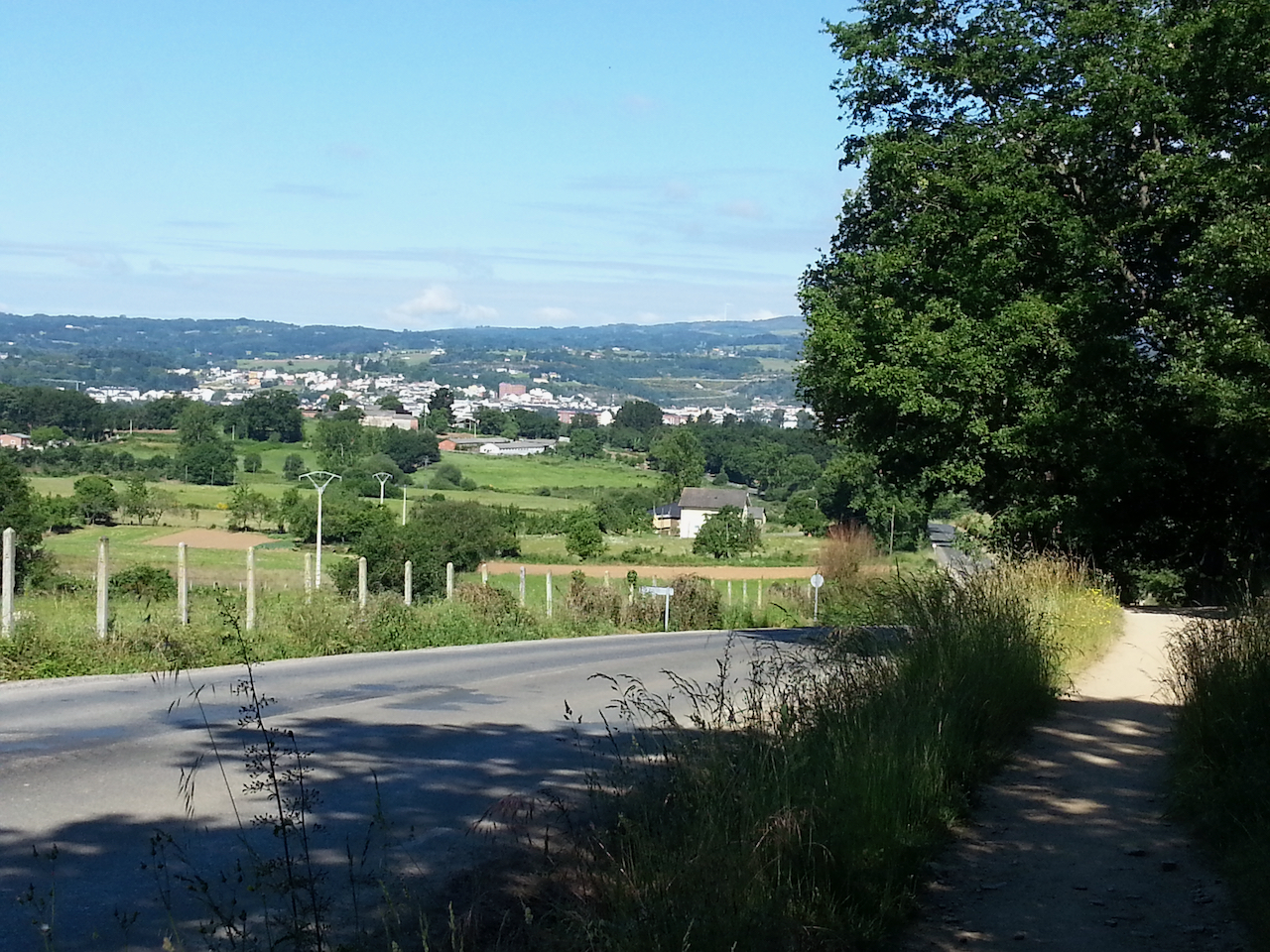
Sarria ahead.

Credencial stamped at the Sarria cathedral.

Sarria again, from the path out.

Alto do Poio to Samos

23.4 km and 5:3 (see map).

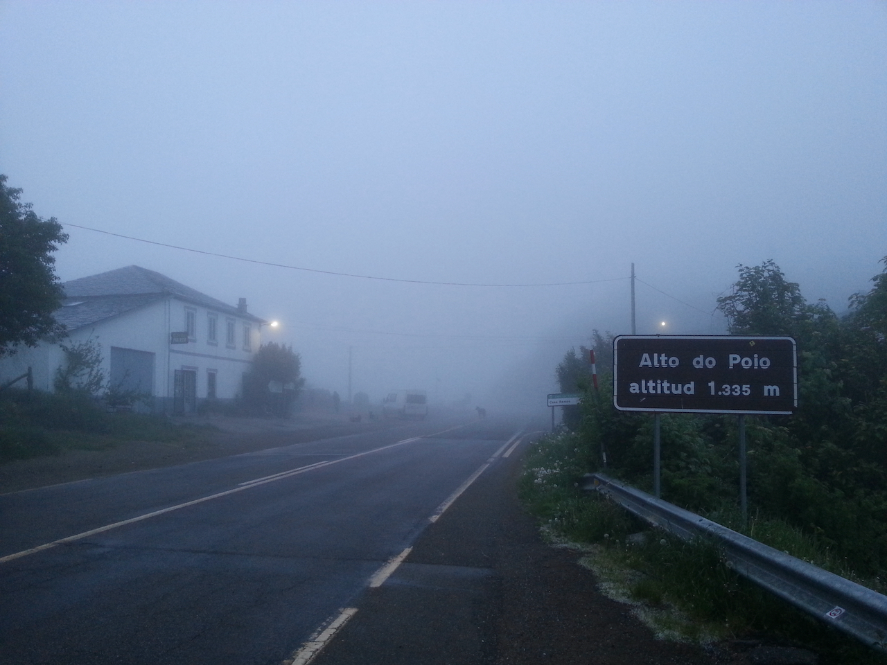
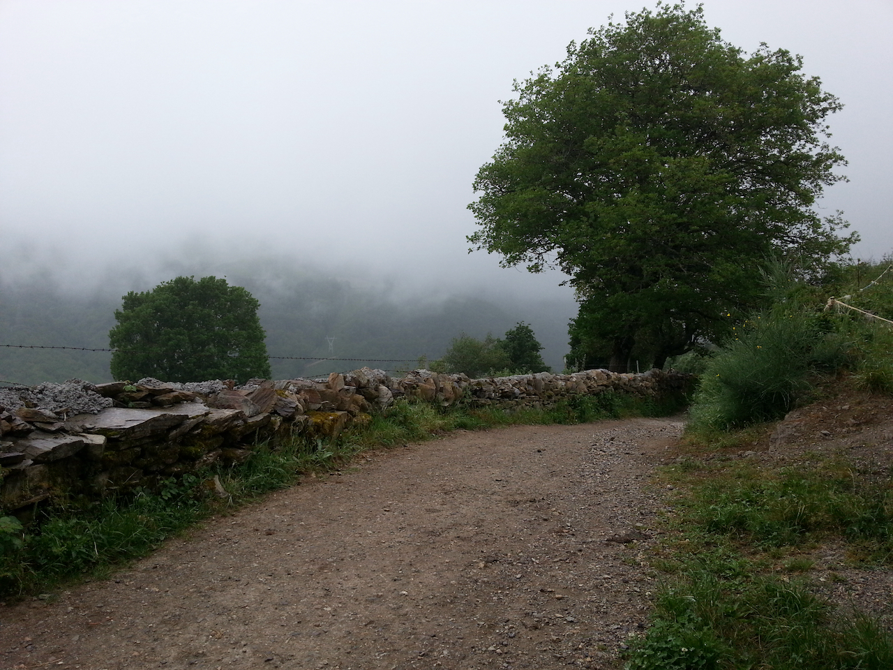
Heading off from the rather rustic albergue at Alto do Poio. The mountain top was enveloped in low cloud, but it wasn’t particularly cold.

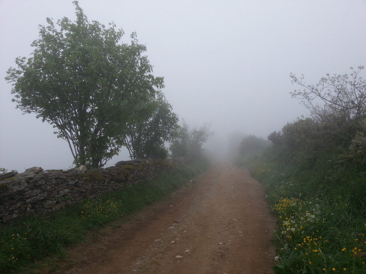
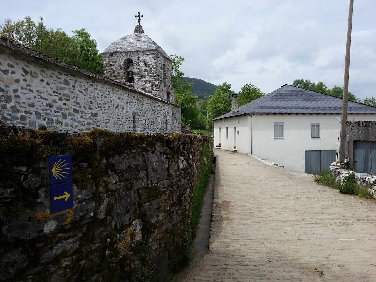
The Camino followed the road for a short distance then cut off onto cross country tracks through small hamlets and villages.

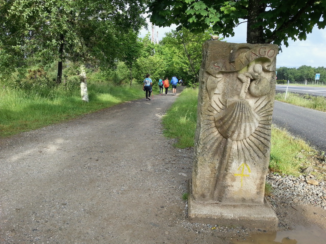
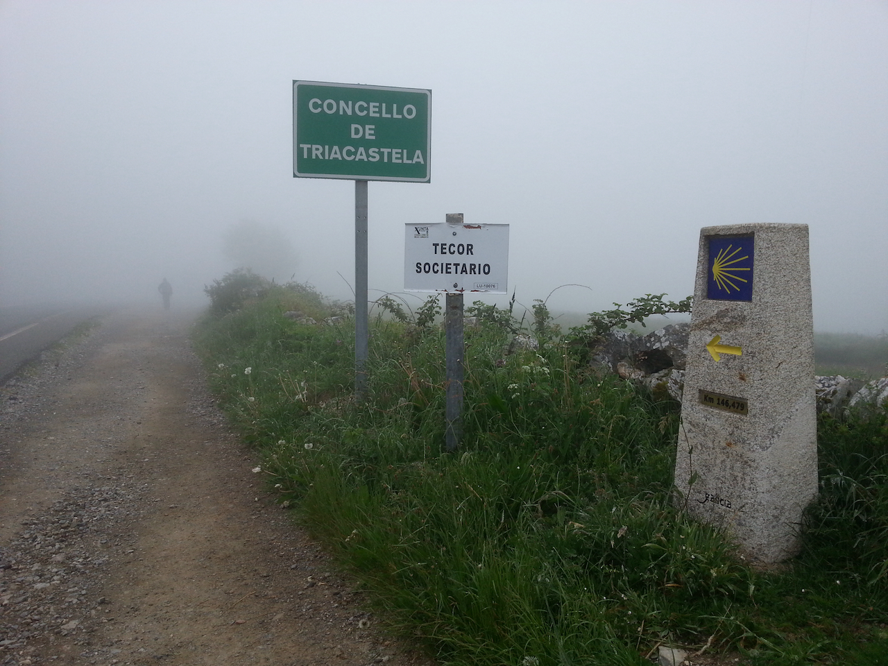
The Camino way markers in Galicia are concrete and apart from having the stylised Camino scallop shell and a direction arrow include a metal plate stamped with the remaining distance to Santiago.

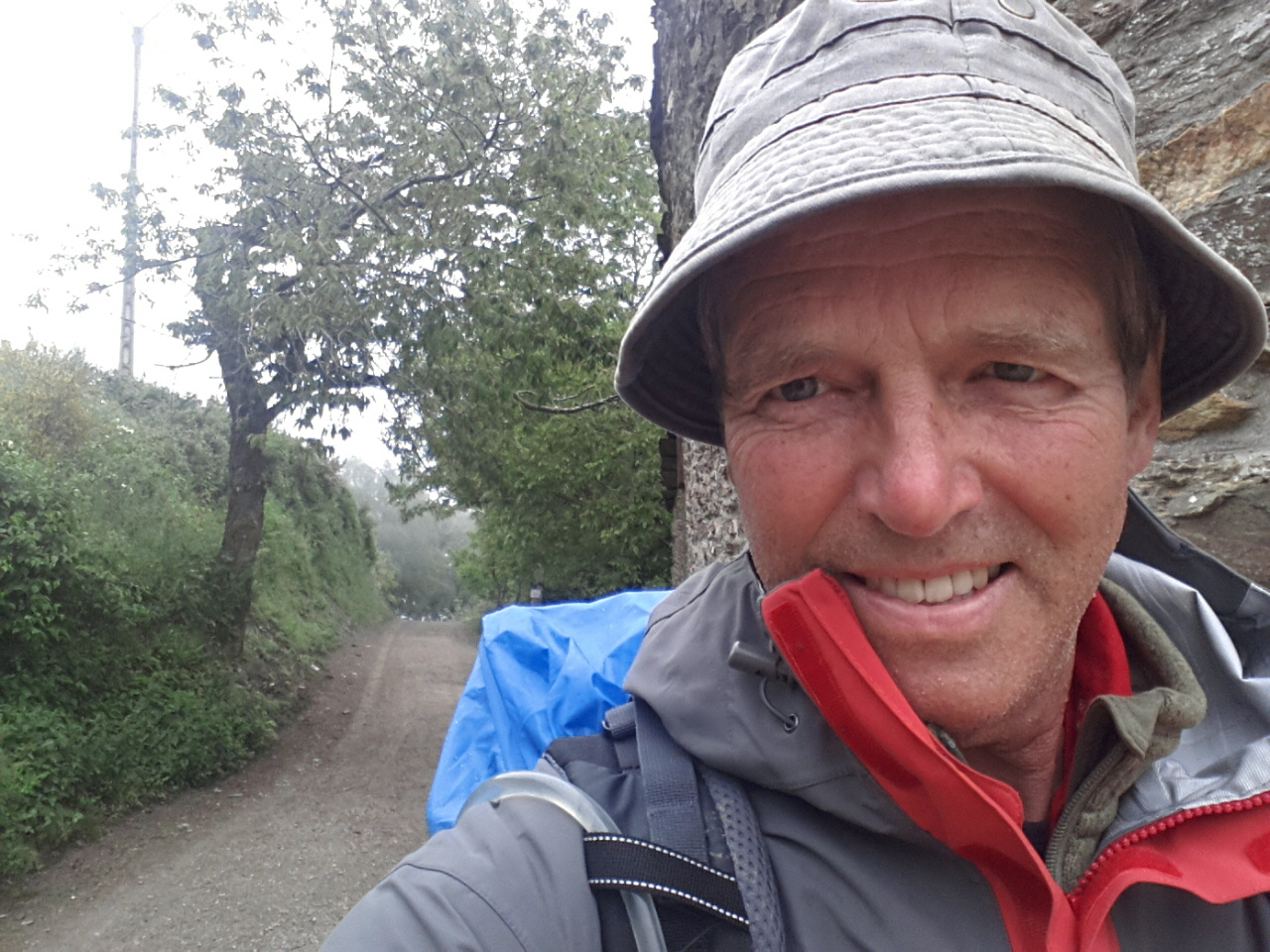
Dodgy selfie, taken after stop for coffee and to shelter from passing shower.

Onward towards Triacastela.

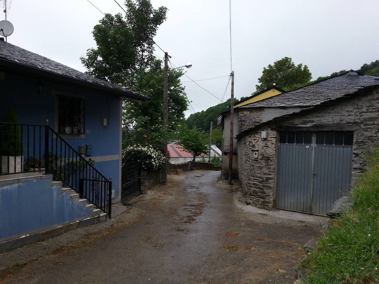
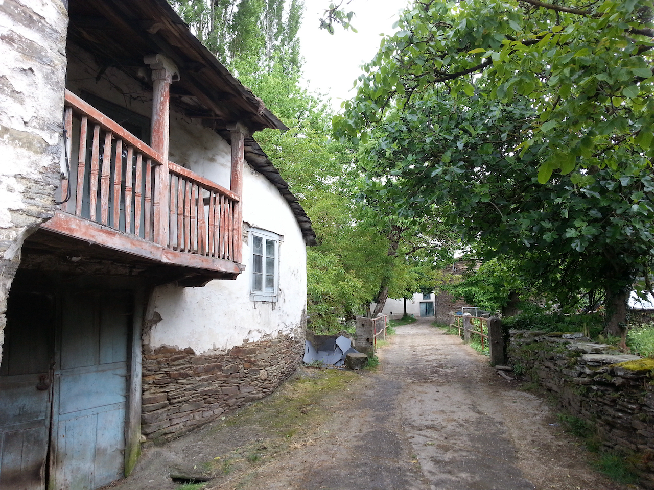
Lots of small hamlets/villages like this. Cattle kept in the buildings, and obviously herded through the lanes at times.

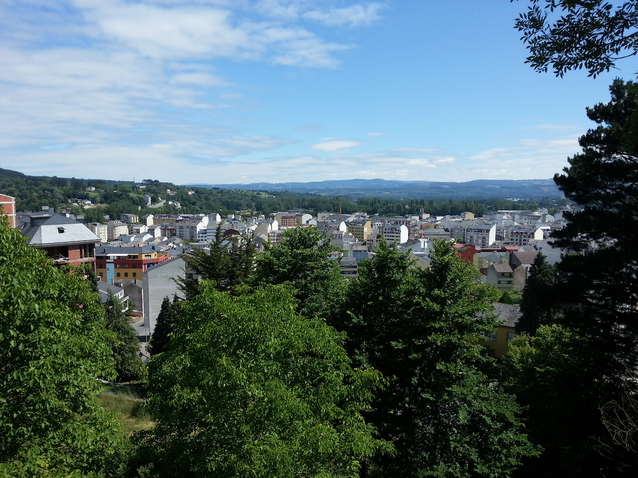
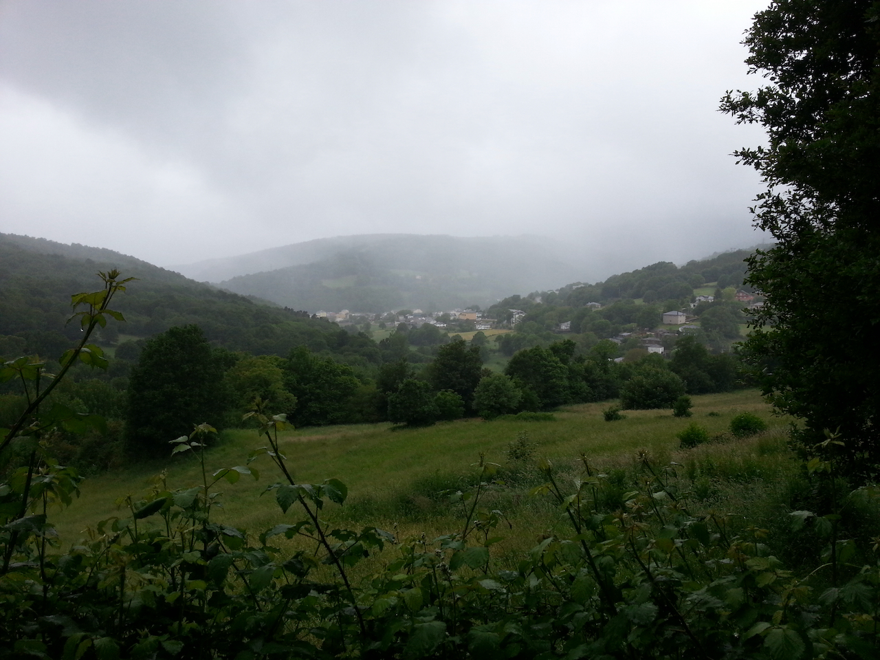
Triacastela nestled down in the valley.

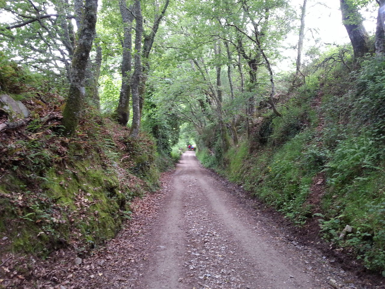
Great walking on these forest paths.

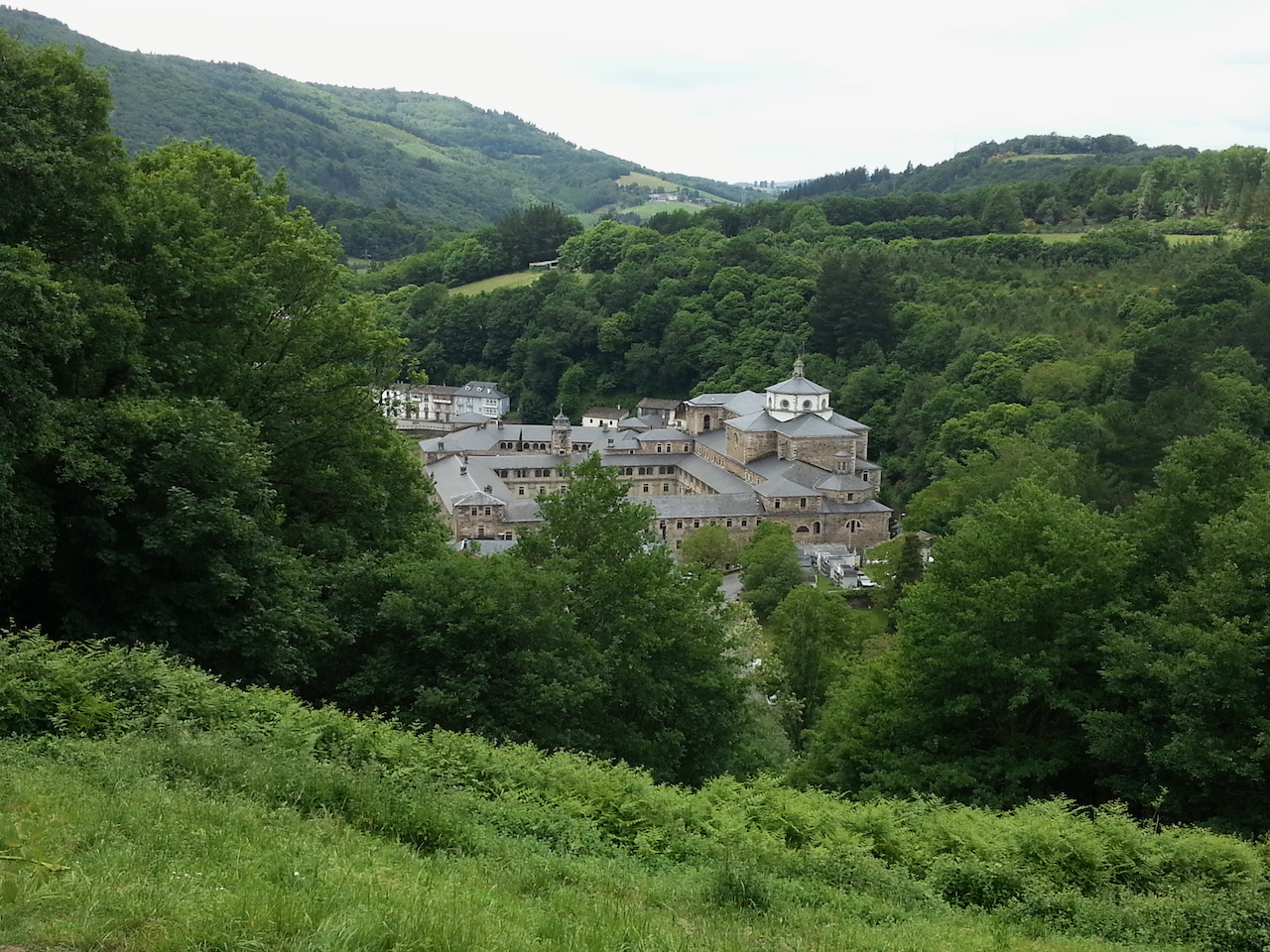
Samos near; the monastery dominant.

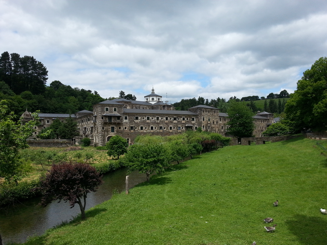
And a closer look at the monastery. I’m staying in the parroquial there.

Vega de Valcarce to Alto do Poio

19.5 km and 5:03 (see map).

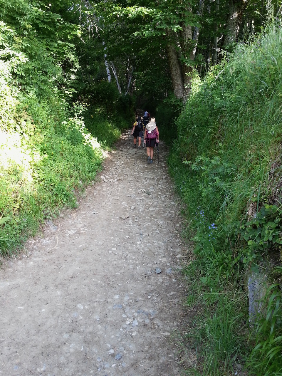
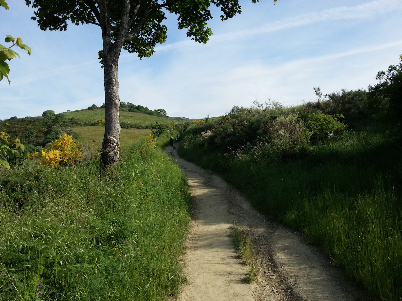
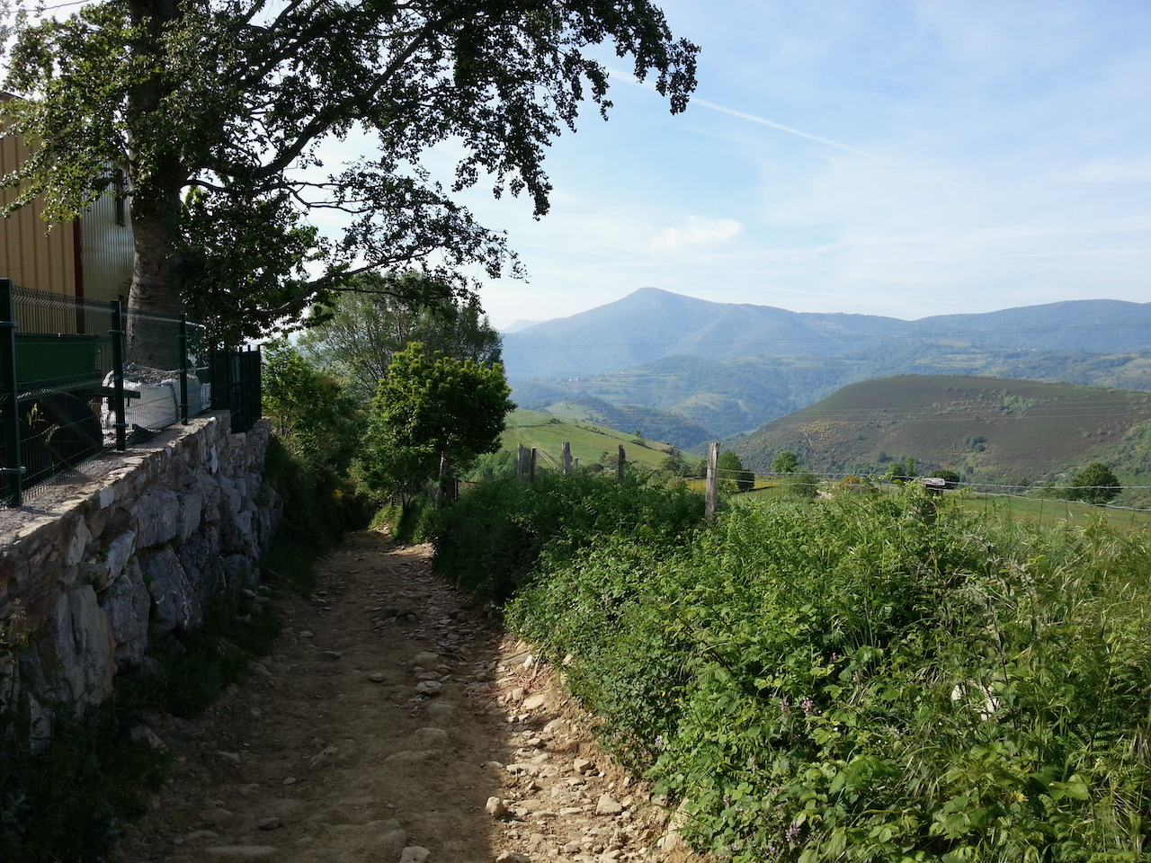
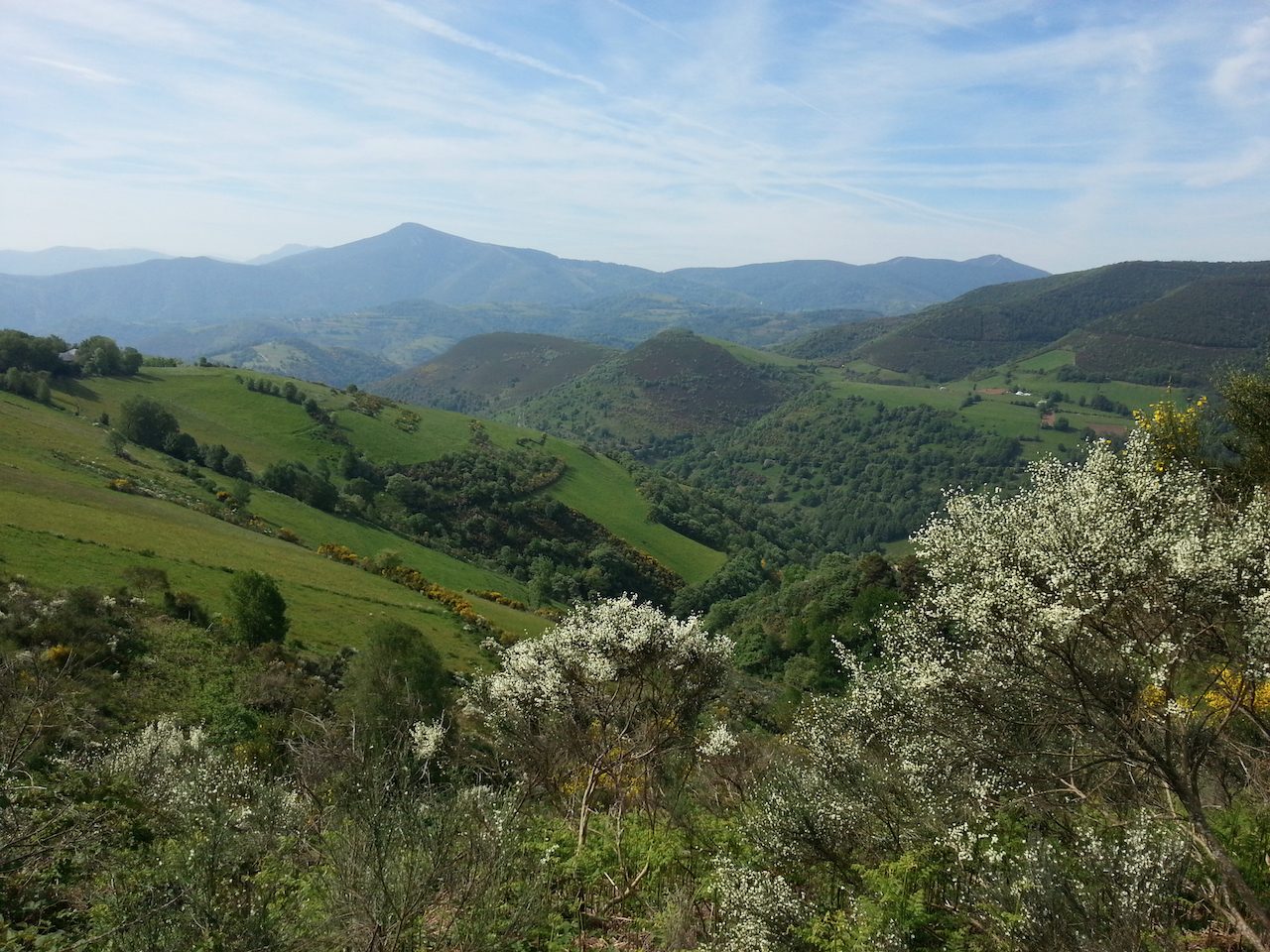
An easy walk for the first four km through Ruitelán and Las Herrerias, then a climb of around 700 m over the next eight km to O Cebriero (1,330 m). Stunning countryside and views (especially so the higher you went) and great walking along shaded paths on the lower flanks of the mountains. O Cebreiro was an option for a stop for the night, but the weather was good so decided to carry on for another couple of hours to Alto do Poio (1,337 m).

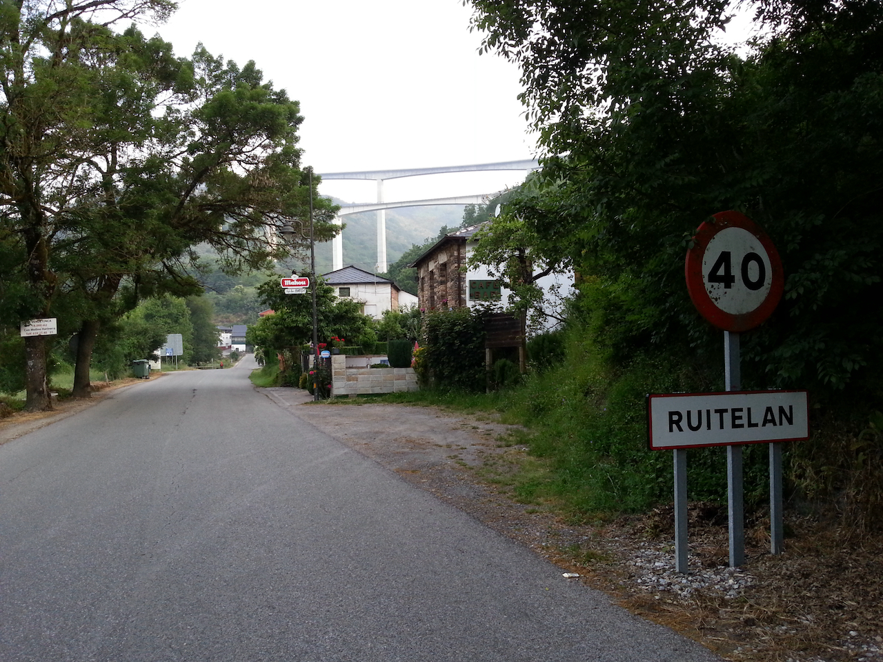
Arriving in Ruitelán, two km into the day’s walk.

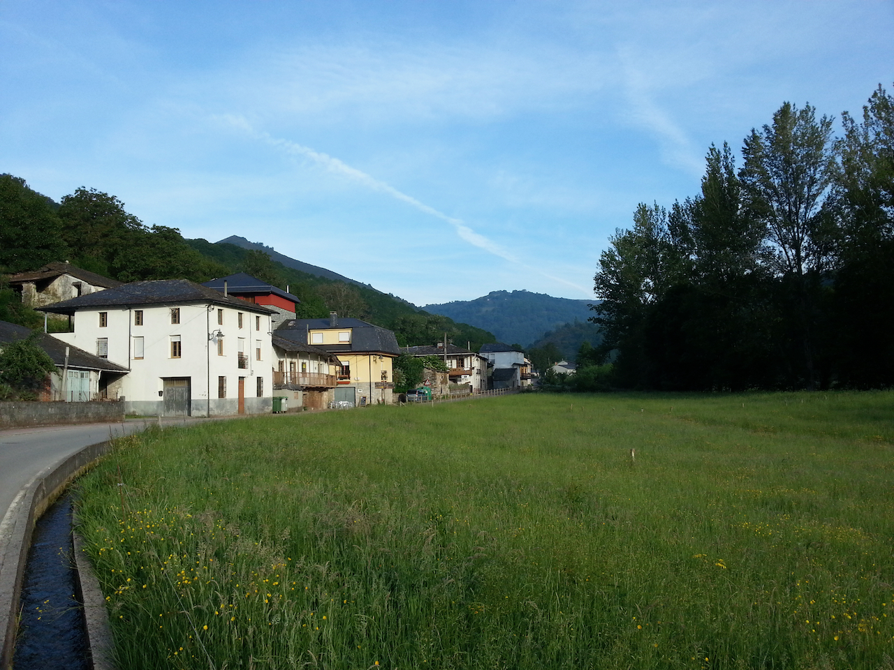
On the way out of Las Herrerias after a stop for a coffee and napolitana (a sweet pastry filled with chocolate cream).

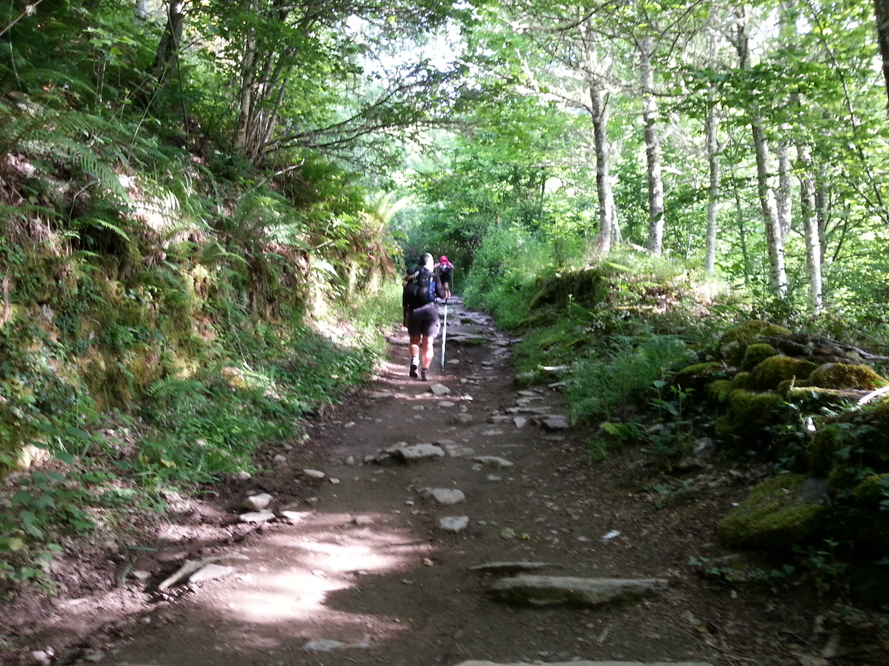
The early stages of the track up the hill.

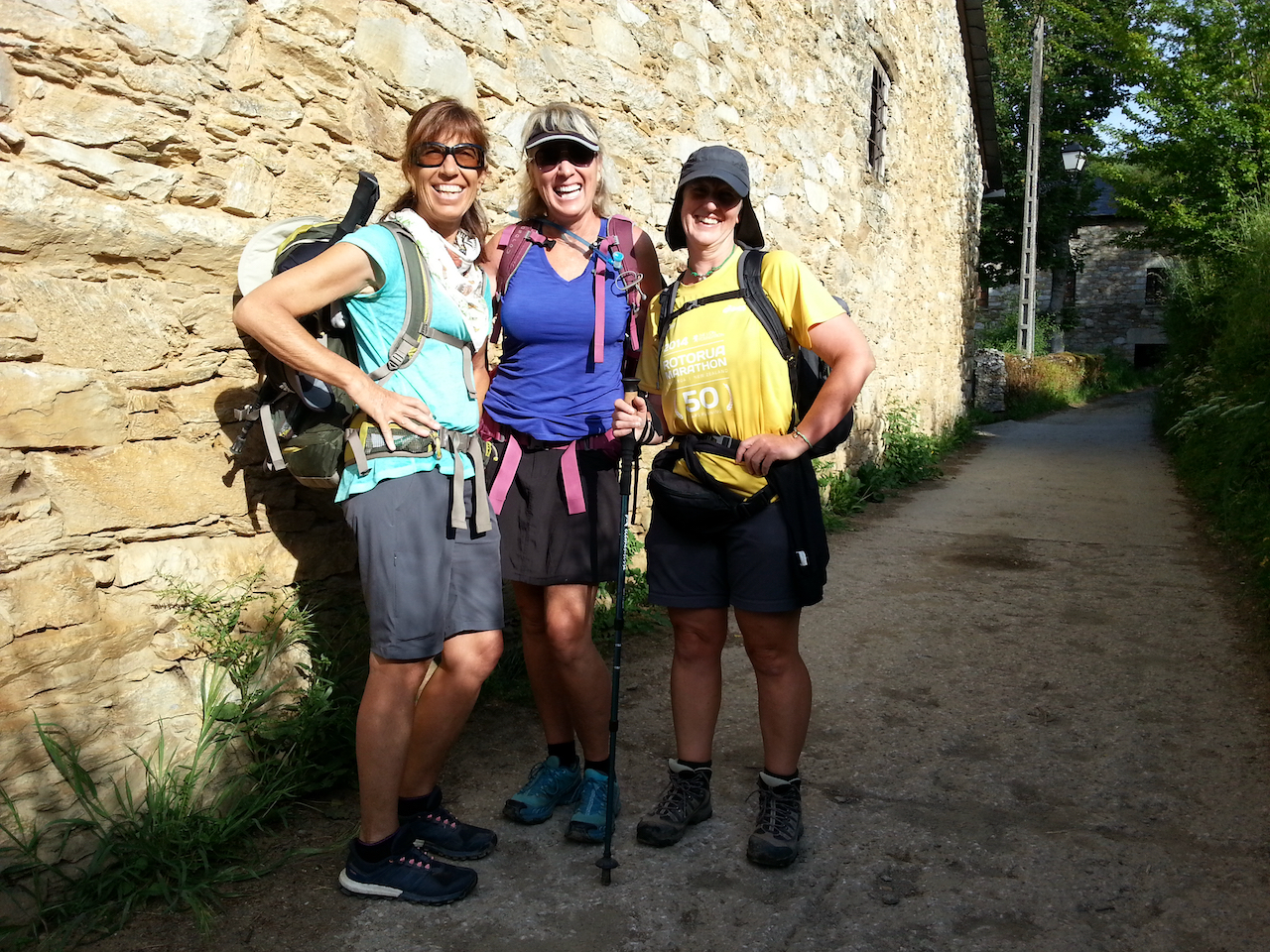
Walked with (L-R) Lisa and Julie (from the USA) and Steph (UK).

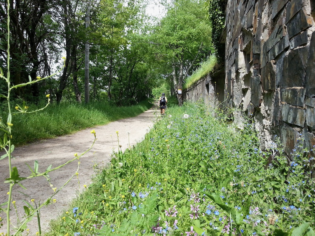
More forest path …

… then out into the open, above the treeline.

Looking back along the path.

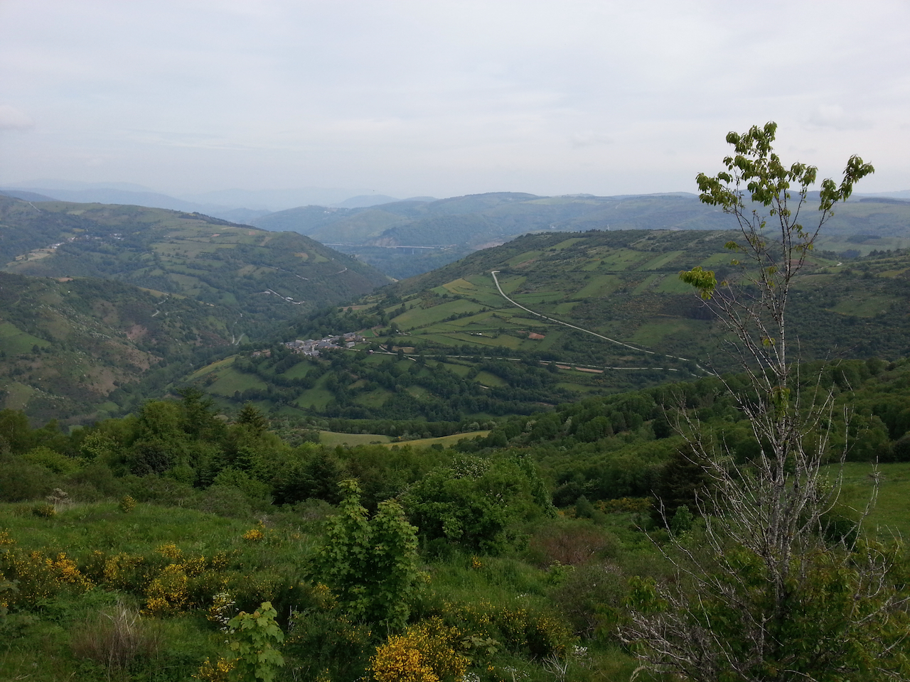
And the view off to the left.

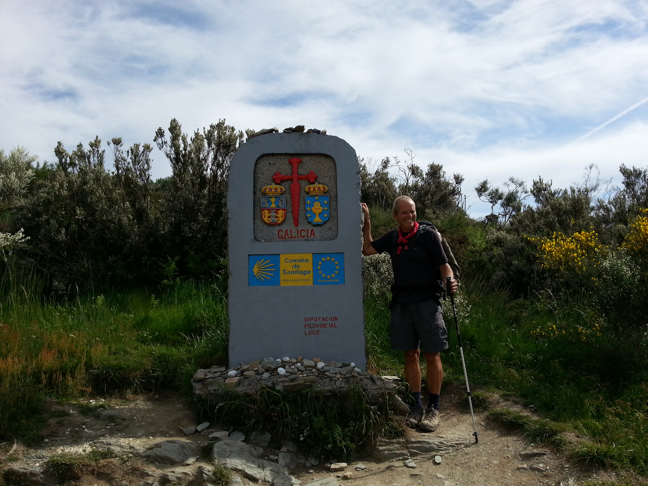
Out of the Castilla y Leòn region and into Galicia.

Along to O Cebreiro.

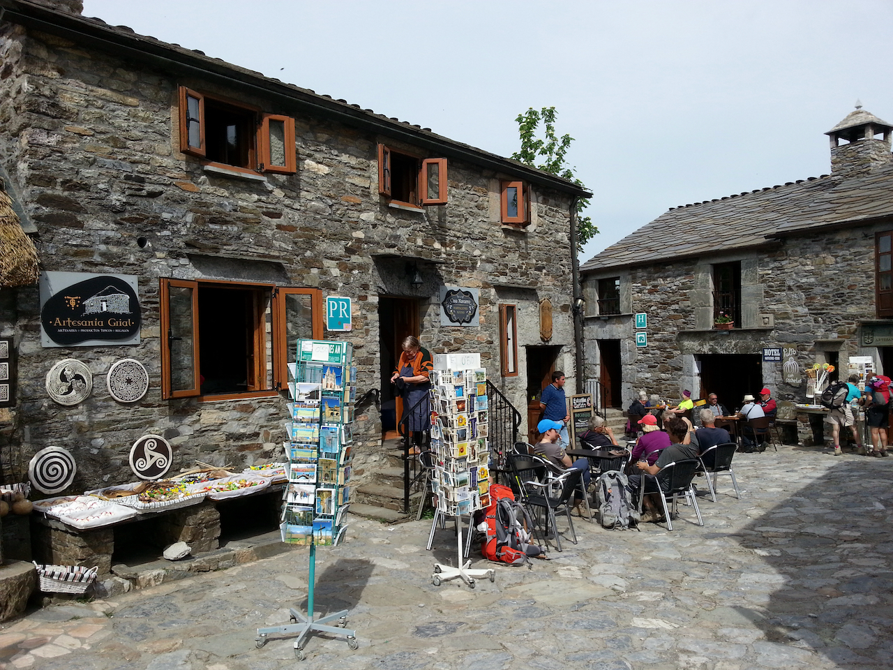
And O Cebreiro itself.

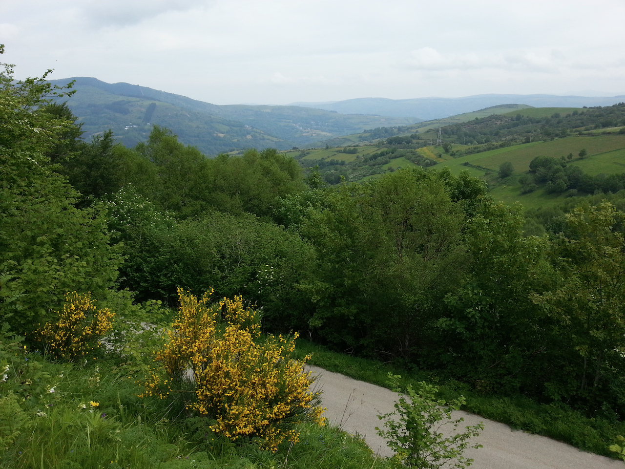
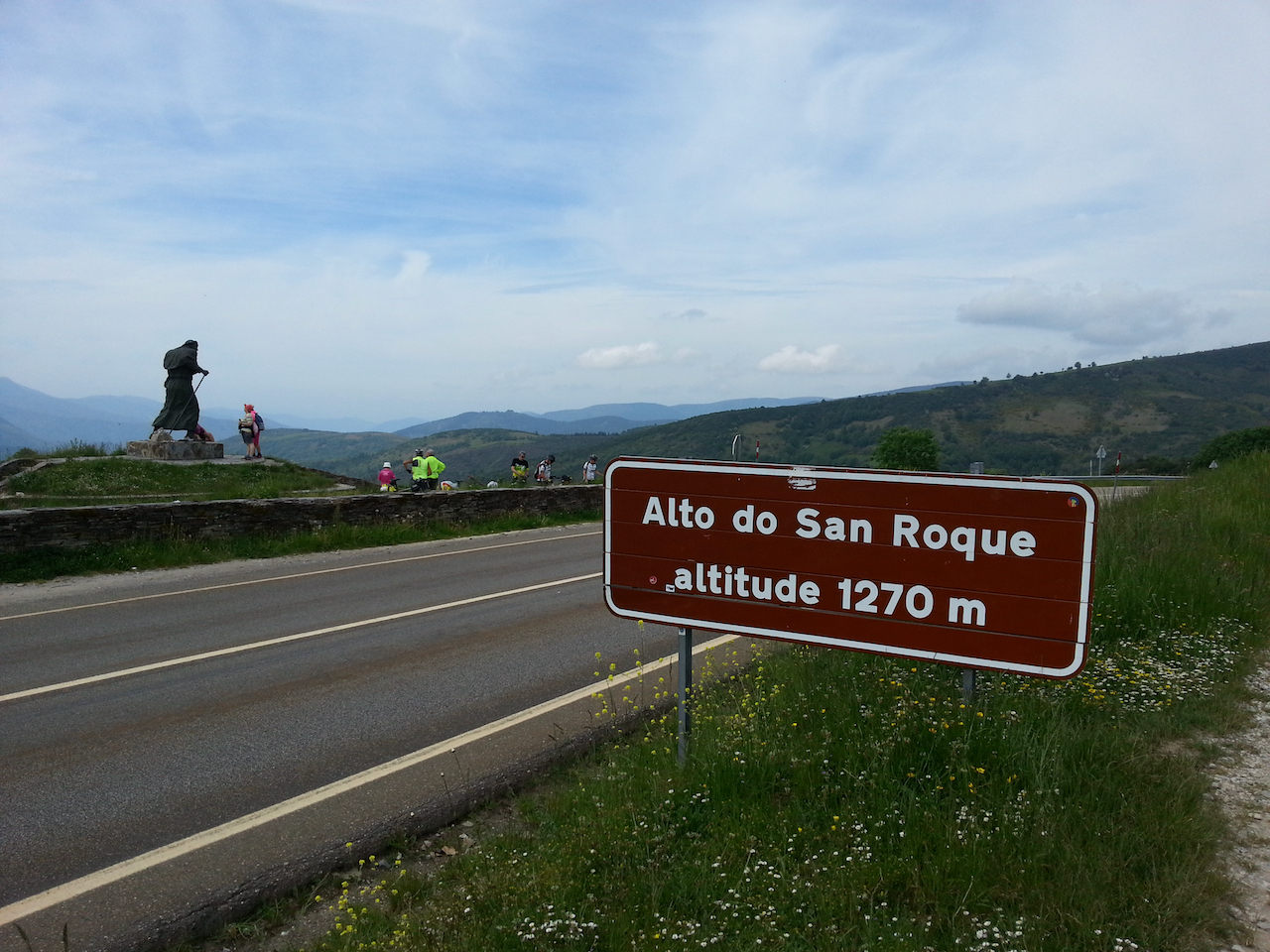
Following shots from walk across to Alto do Poio from O Cebreiro, via Linares, Alto de San Roque and Hospital de la Condesa.